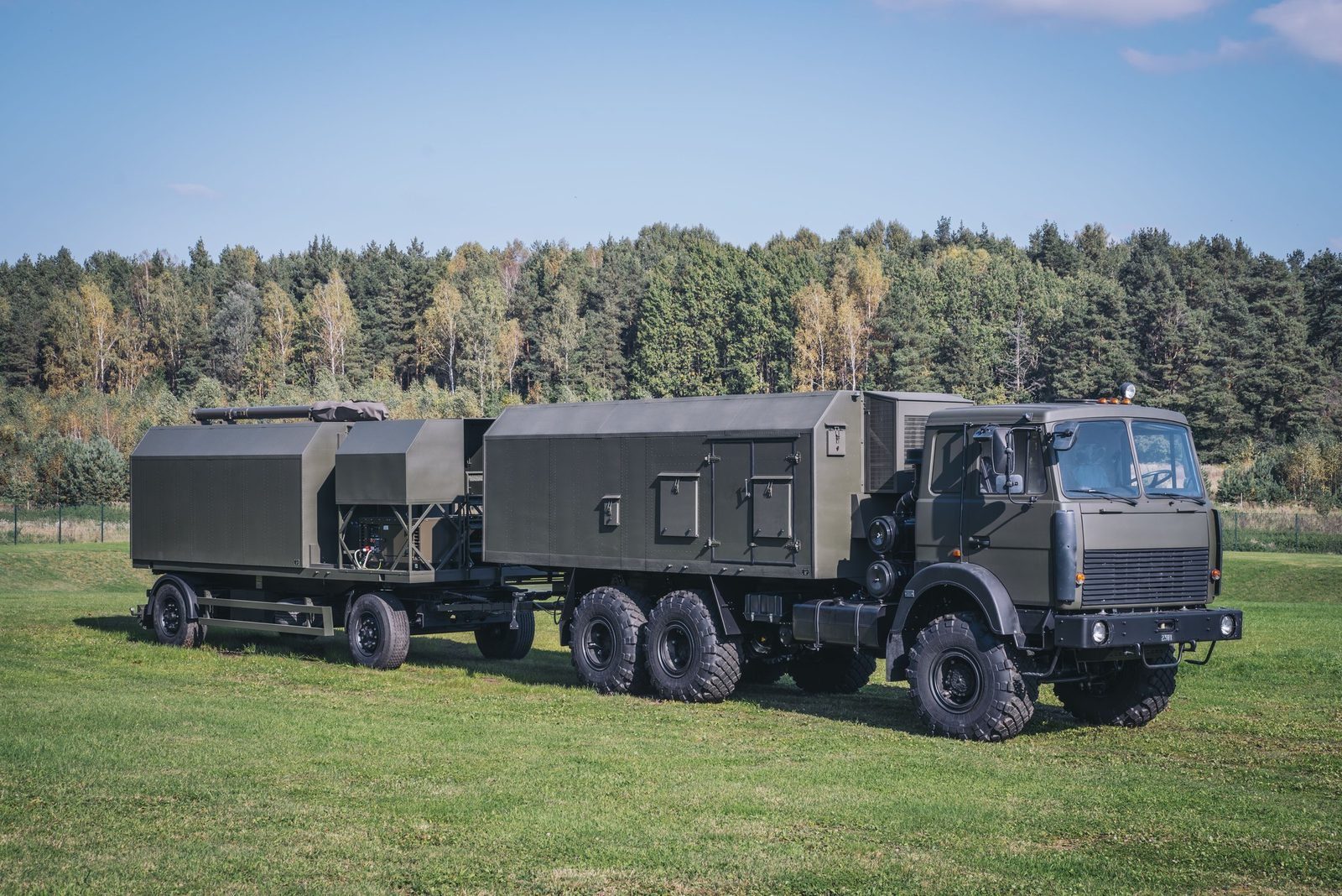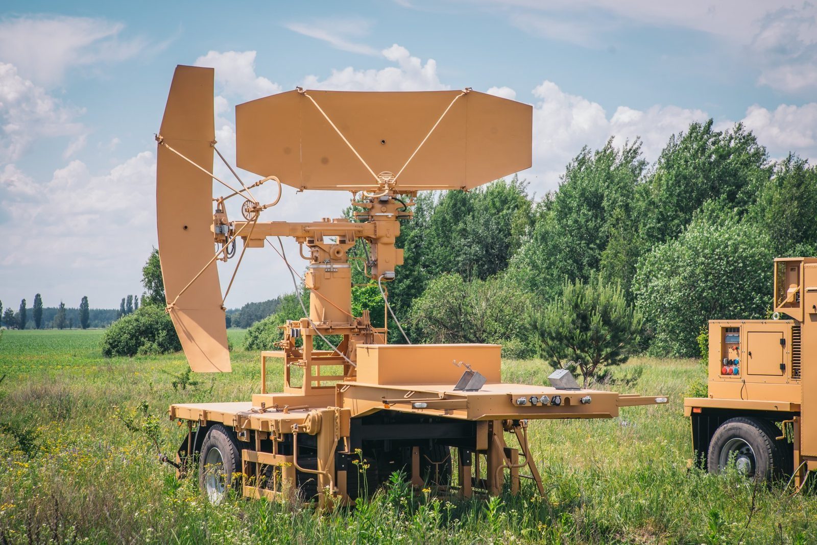
Layer 07 · Detect · RSP-10ML

RSP-10ML: ground controlled approach in any weather

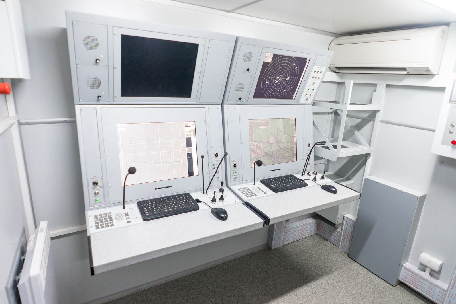
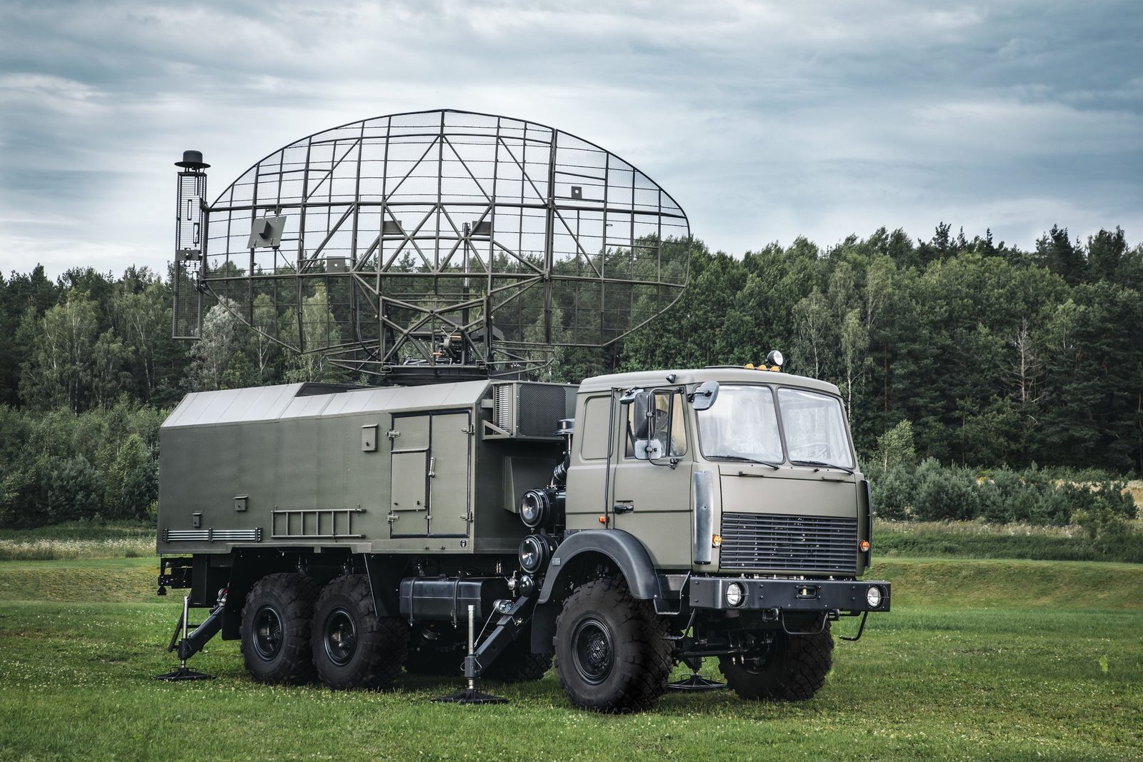
A ground controlled approach system that combines a surveillance radar, with primary and secondary channels on one antenna, and a precision approach radar. Controllers bring aircraft down to the runway in any weather, from either of two directions, independent of the equipment on board the aircraft.

Produced by GIS in Bulgaria
RSP-10ML ground controlled approach system
0.8–1.2 GHzOperating band
3 to 5 minStart up
2Approach directions
PSR + SSRSurveillance channels
3 IFFRBS, Mark X and Eastern
Why RSP-10ML

What it brings to the air picture.

In detail

RSP-10ML functions and characteristics.

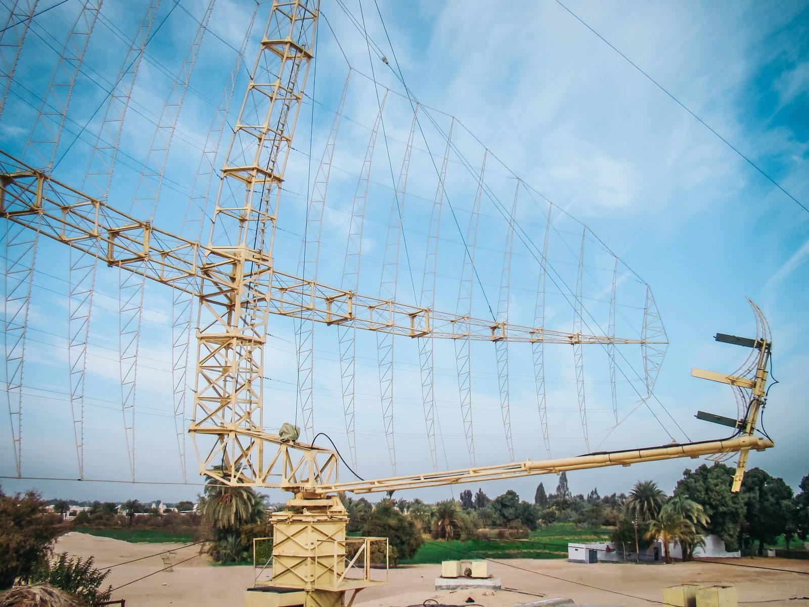
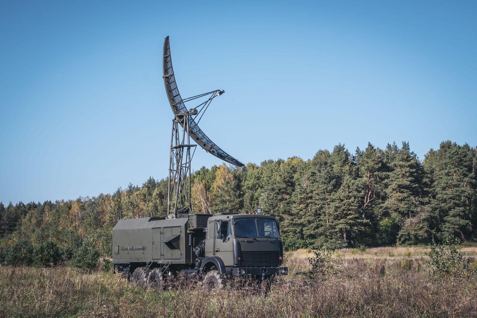
RSP-10ML guides aircraft and helicopters safely to the runway in normal and bad weather. It combines an airport surveillance radar, with primary and secondary channels on one antenna, and a precision approach radar that gives the controller both horizontal and glide path guidance.

The primary channel works in the ICAO L band, the secondary channel on standard RBS frequencies (interrogation 1030 MHz, reply 1090 MHz) and Eastern UVD (1030 and 740 MHz). The precision approach radar works in X band.
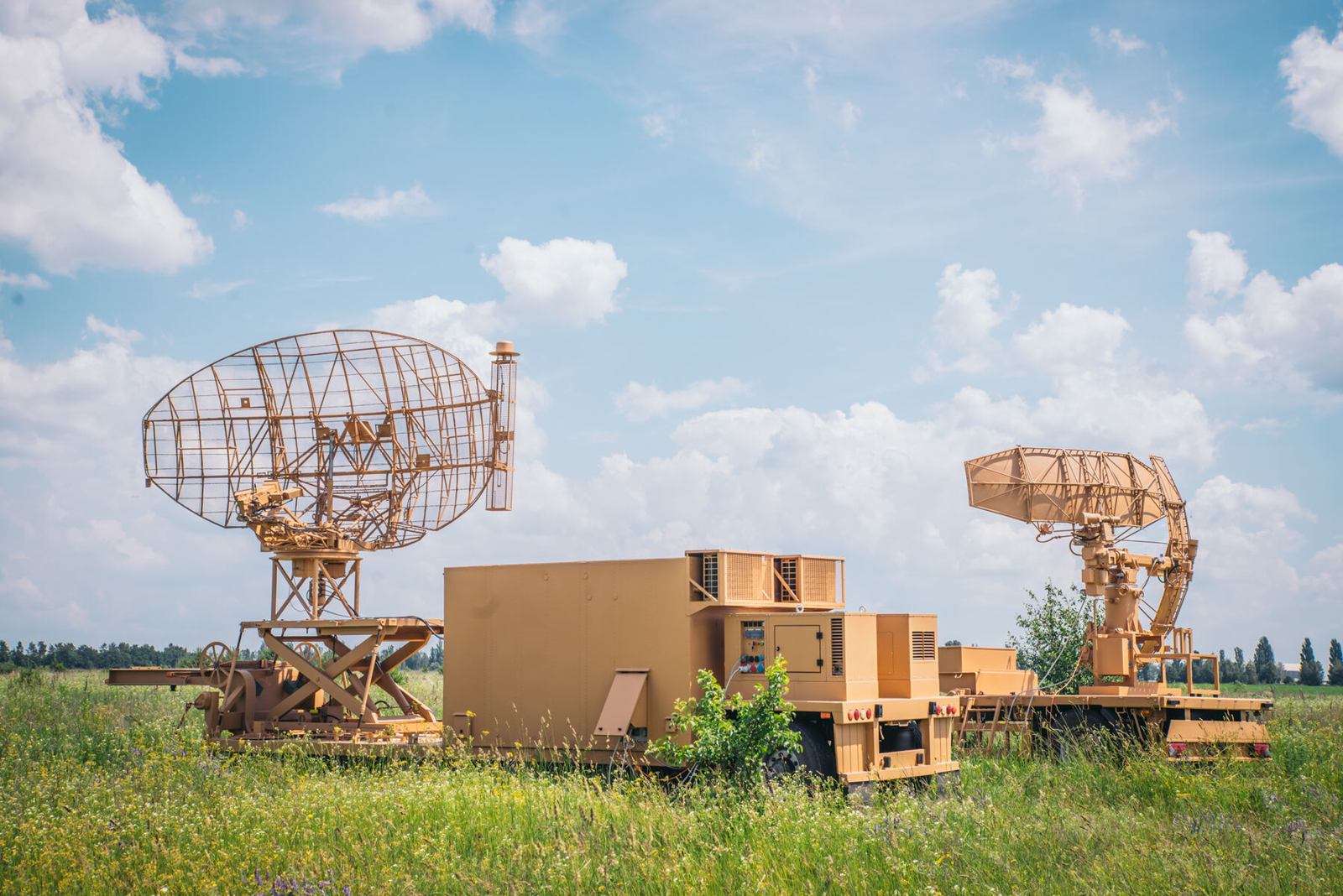
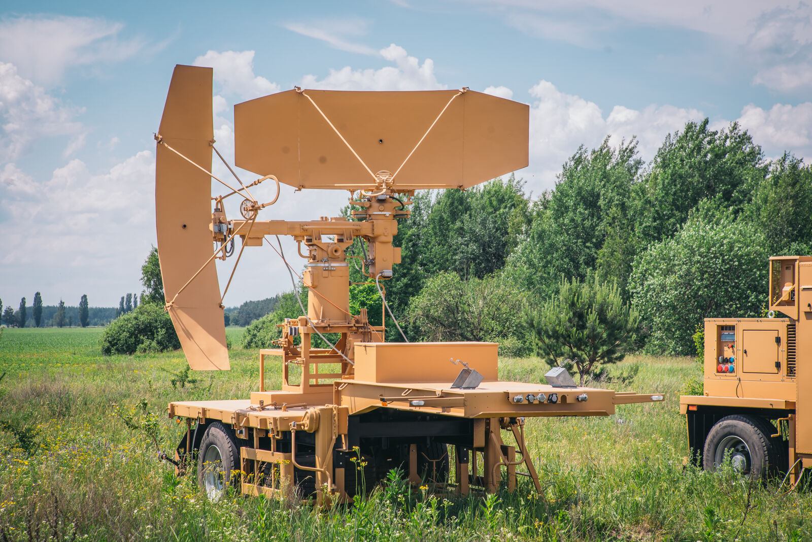
RSP-10ML
RSP-10ML
RSP-10ML
Main characteristics
  • Solid state transmitter with soft failure redundancy
  • Automatic recording of the air situation
  • Efficient operation in a jamming environment
  • Independent of airborne equipment
  • Secondary channel for RBS, Mark X and Eastern IFF
Key figures
Operating frequency800 MHz to 1.2 GHz
Start up time3 to 5 minutes
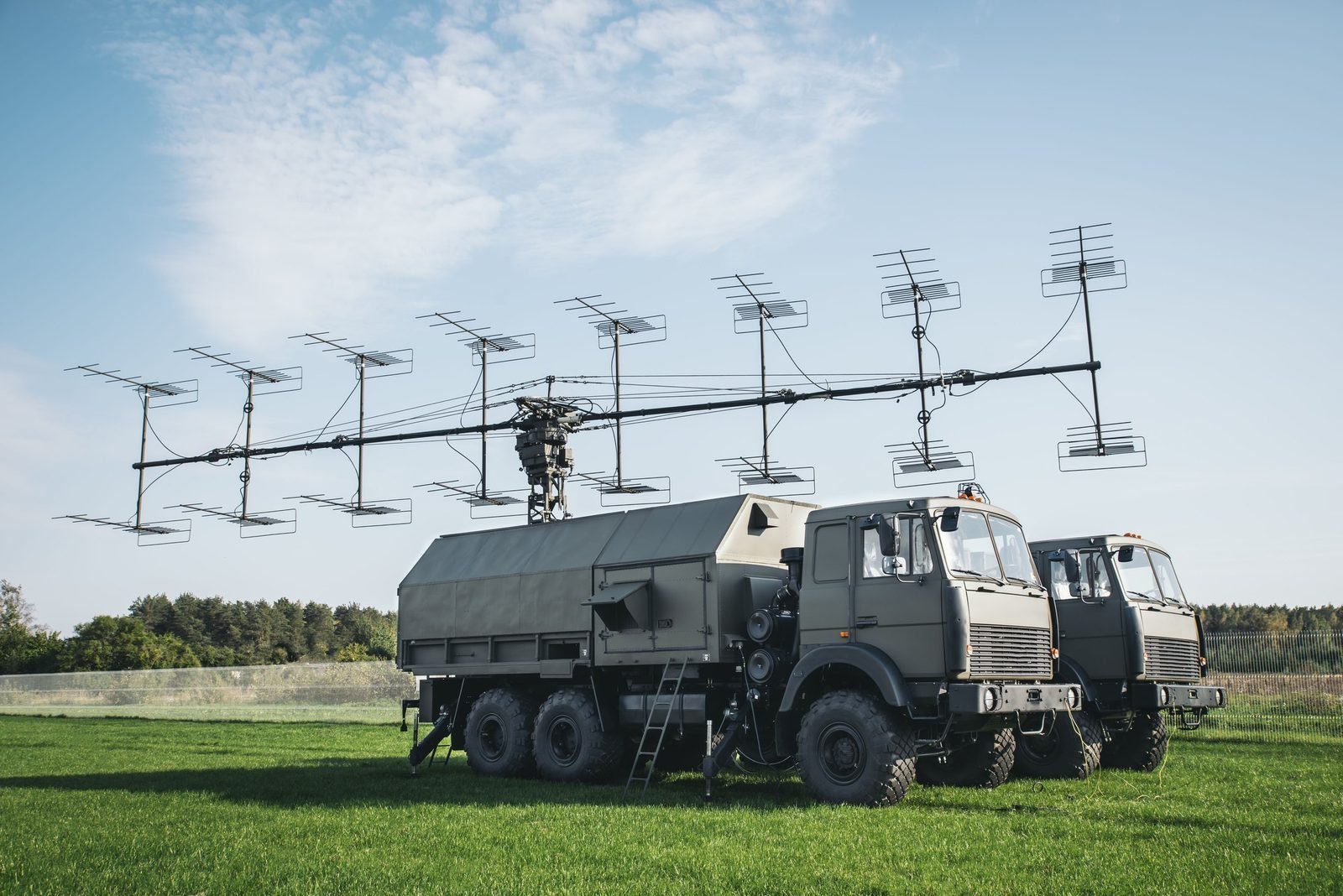
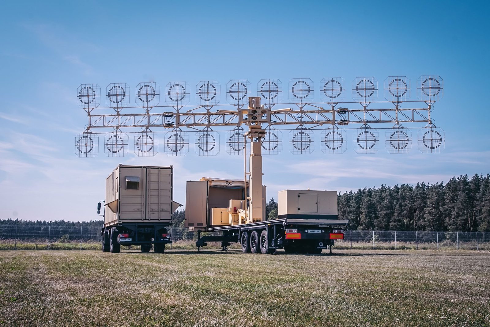
Figures are indicative and depend on configuration, site and target. The values that apply to a supply are those in the signed contract. Radars are controlled items and are supplied only to end users approved by the competent authorities.

Radar family

Other GIS radars and the command post.

Each radar can be delivered on its own or combined into a national network, with site planning, installation, crew training and maintenance by GIS.

P-18ML
P-18MLVHF surveillance radar, 360 kmView →
AMBER-1800
AMBER-1800Mobile VHF radar, ready in 12 minutesView →
MARS-L
MARS-LPrimary and secondary radar on one vehicleView →
P-14ML
P-14ML500 km early warning from existing sitesView →
PRV-16ML
PRV-16MLHeight finder: the third dimensionView →
MODULE
MODULEMobile command post for up to 16 sensorsView →

Plan a radar network with GIS. Site planning, supply, training and support.

Request a consultation