Layer 07 · Detect · PRV-16ML

PRV-16ML: the third dimension for a 2D radar

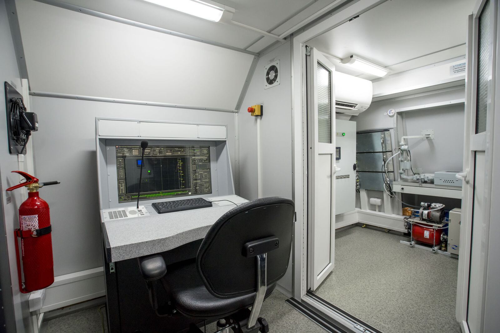
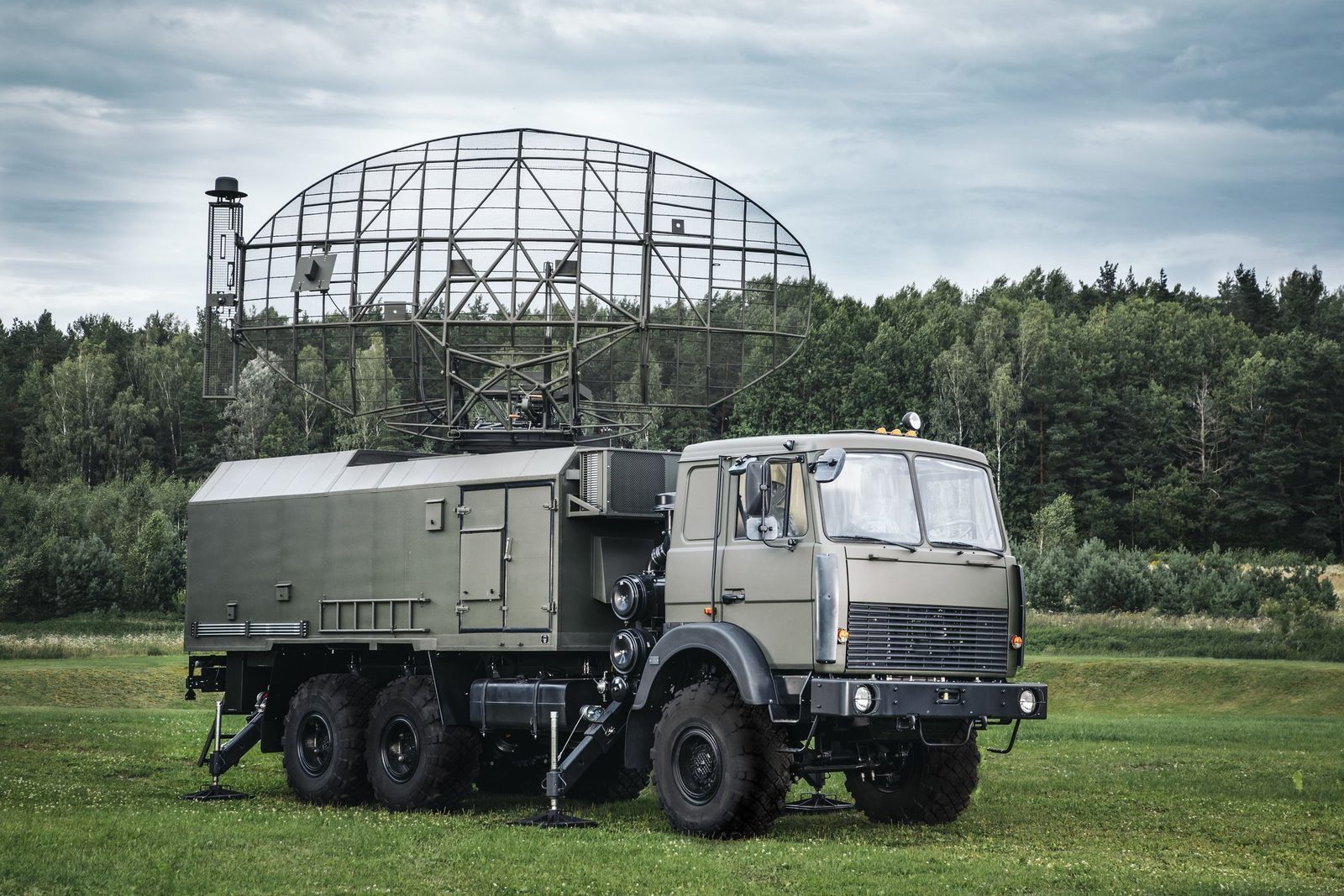
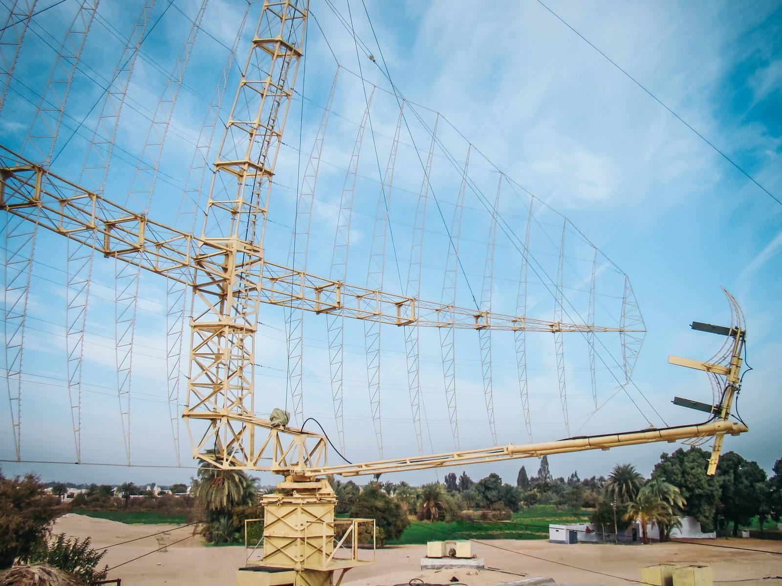
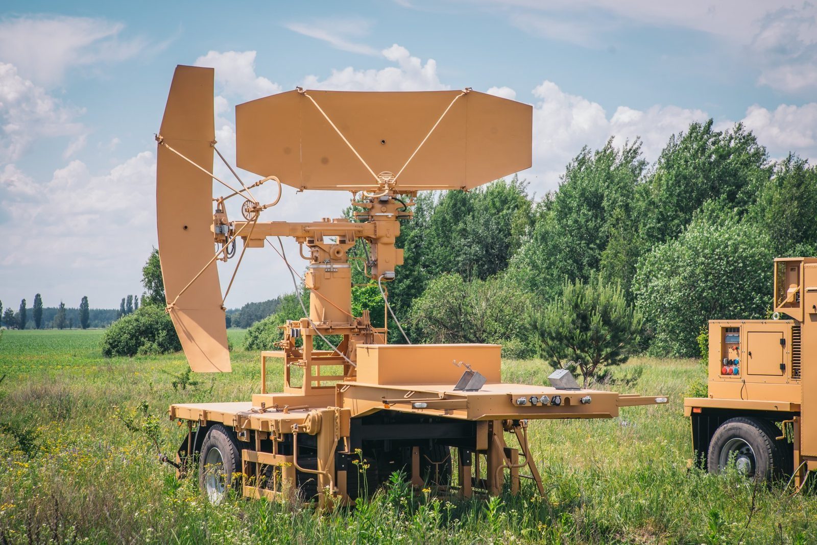
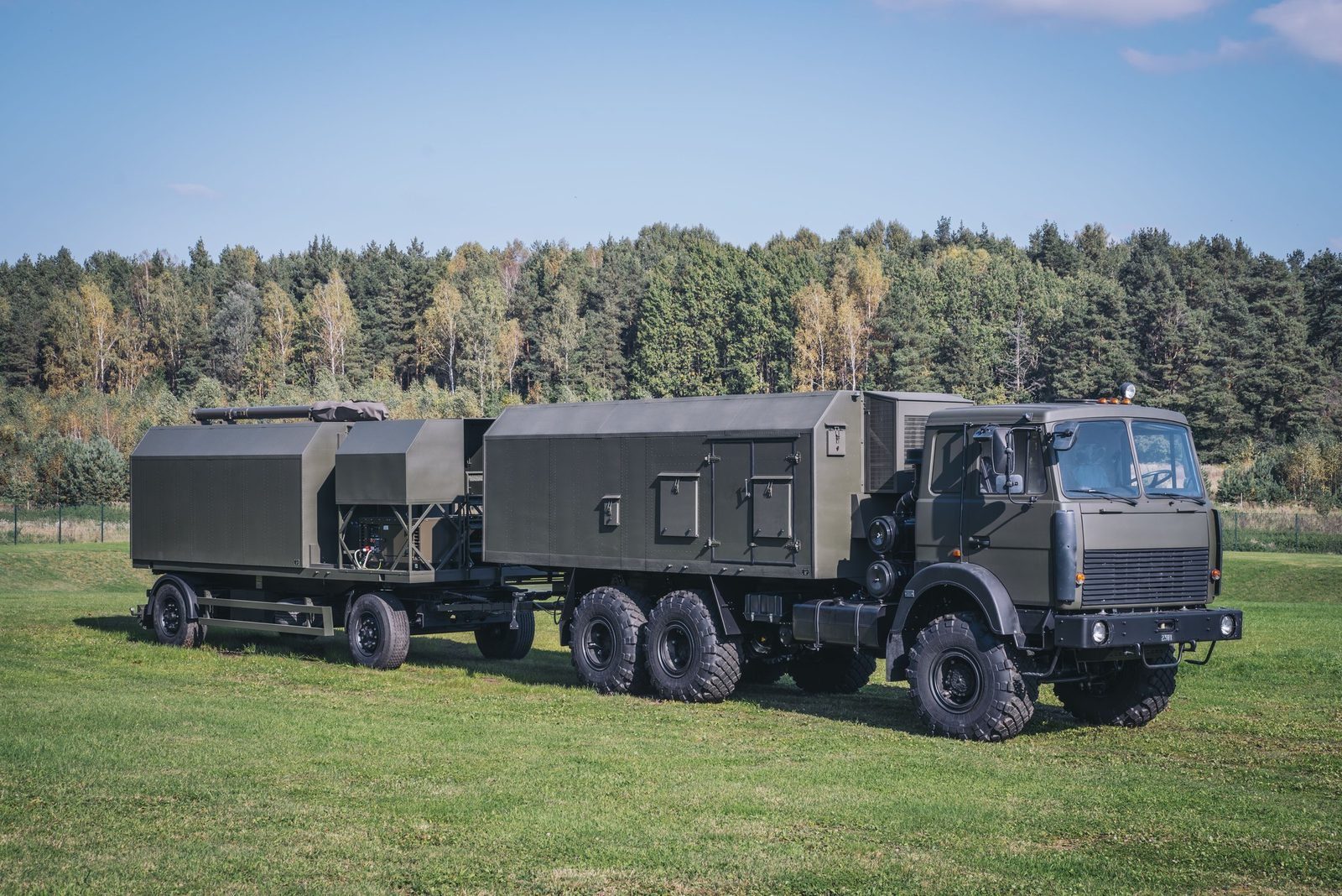
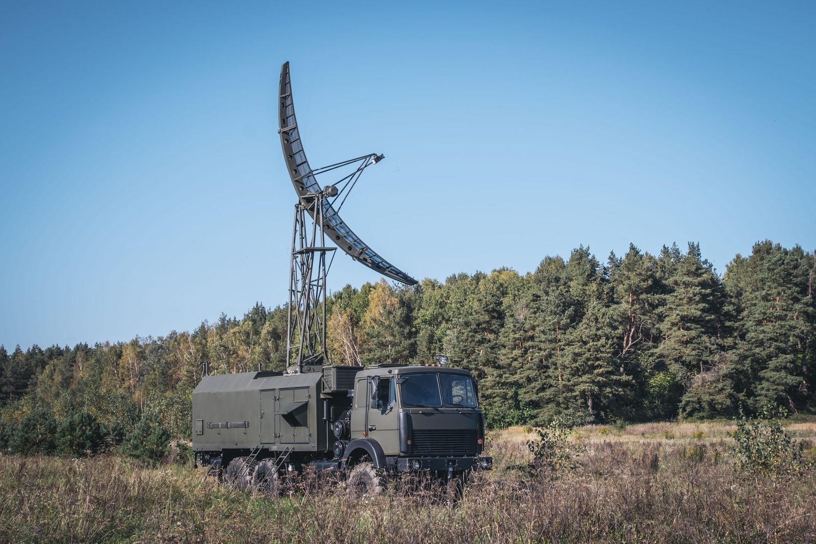
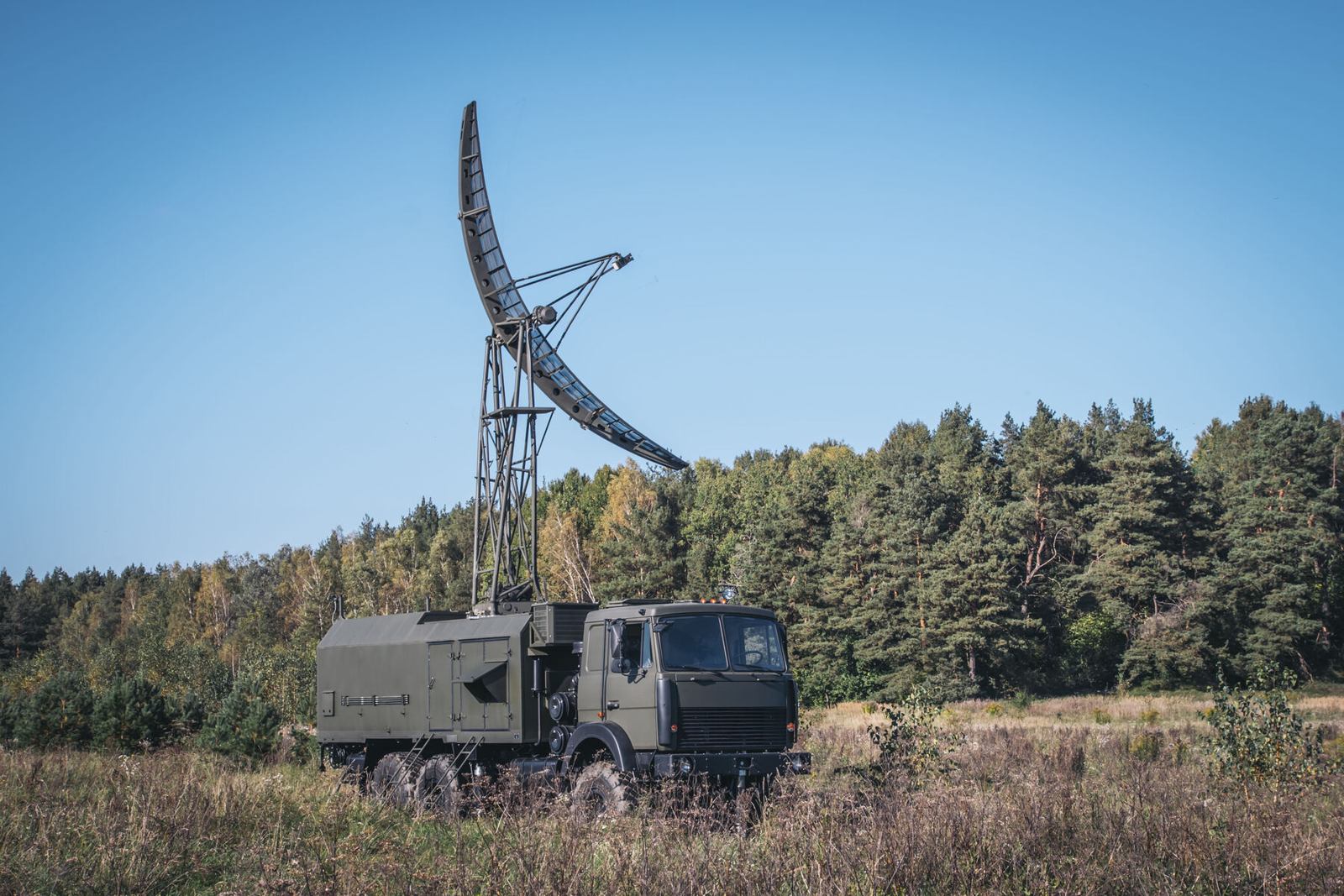
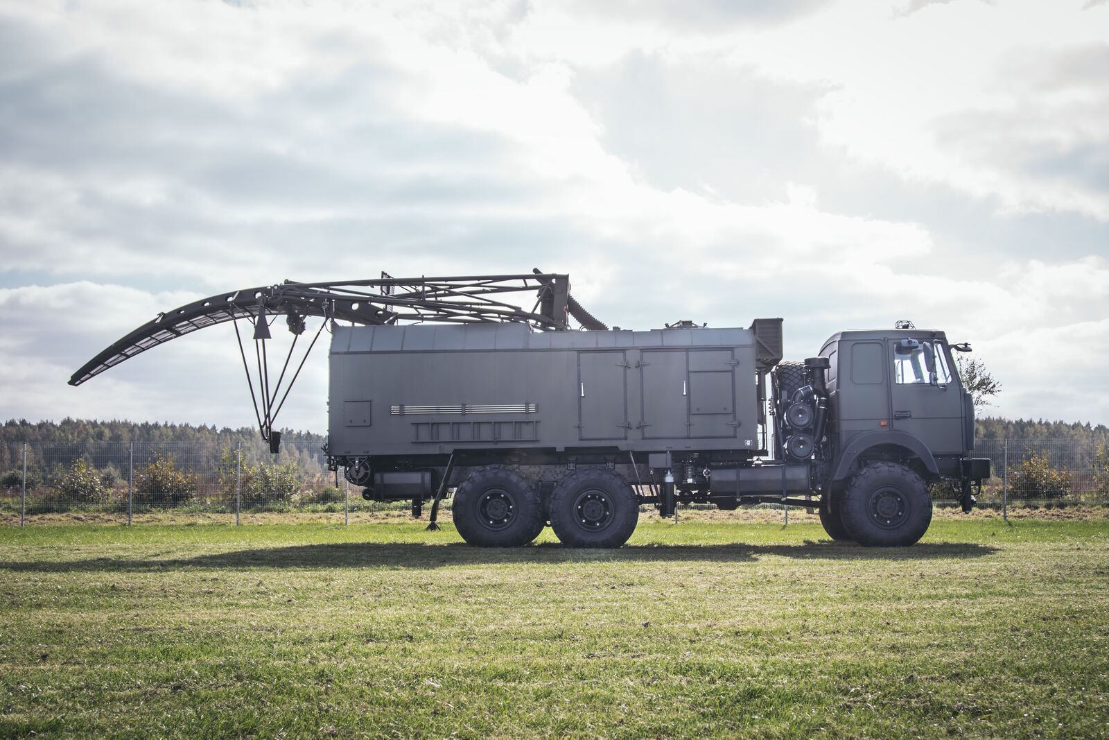
A mobile height finder. It takes target designation from a range finder radar or a command post, turns its narrow vertical beam to the bearing, measures elevation and slant range and calculates the height of the target. It also finds the bearing of active jammers.

Produced by GIS in Bulgaria
PRV-16ML mobile height finder
210 kmMaximum range
120 kmFighter at 1,000 m
80 kmFighter at 500 m
40 kmFighter at 100 m
3DWith a 2D radar and MODULE
Why PRV-16ML

What it brings to the air picture.

3D radar complex

An alternative to modern 3D radars.

High location accuracy, resistance to jamming, mobility, survivability and fully automatic operation, at a competitive price. Produced by GIS in Bulgaria.

012D surveillance radarA solid state P-18ML, MARS-L, AMBER-1800 or P-14ML builds the air picture in azimuth and range.
02PRV-16ML height finderTakes the target designation, measures elevation and slant range and calculates the height of the target.
03MODULE command postConnects the sensors automatically, fuses their data and distributes the recognised air picture in ASTERIX.
In detail

PRV-16ML functions and characteristics.

A 2D surveillance radar tells you where a target is on the map, not how high it flies. PRV-16ML adds the third dimension: it takes target designations from a surveillance radar or command system, measures the target's altitude and also finds the bearing of active jammers.

Together with 2D radars such as the upgraded P-18 or P-19, PRV-16ML forms the backbone of a 3D radar complex. It interfaces with P-18ML, P-14ML, MARS-L and the Module command post, and distributes data in ASTERIX format by default.
PRV-16ML
PRV-16ML
PRV-16ML
Main functions
  • Acquisition and processing of target designations from radars and command units
  • Automatic detection and measurement of azimuth, slant range and elevation; height calculation
  • Data distribution in ASTERIX format
  • Display of designations, air situation and weather at the technical workstation
  • Manual designation by the operator with automatic height measurement
  • Automatic detection and bearing of active jammers
  • Semi automatic levelling and GPS positioning; automatic diagnostics
Key figures
Fighter at 100 m40 km
Fighter at 500 m80 km
Fighter at 1,000 m120 km
Fighter at 45,000 m210 km
Slant range resolution400 m or better
Elevation resolution0.5 or better
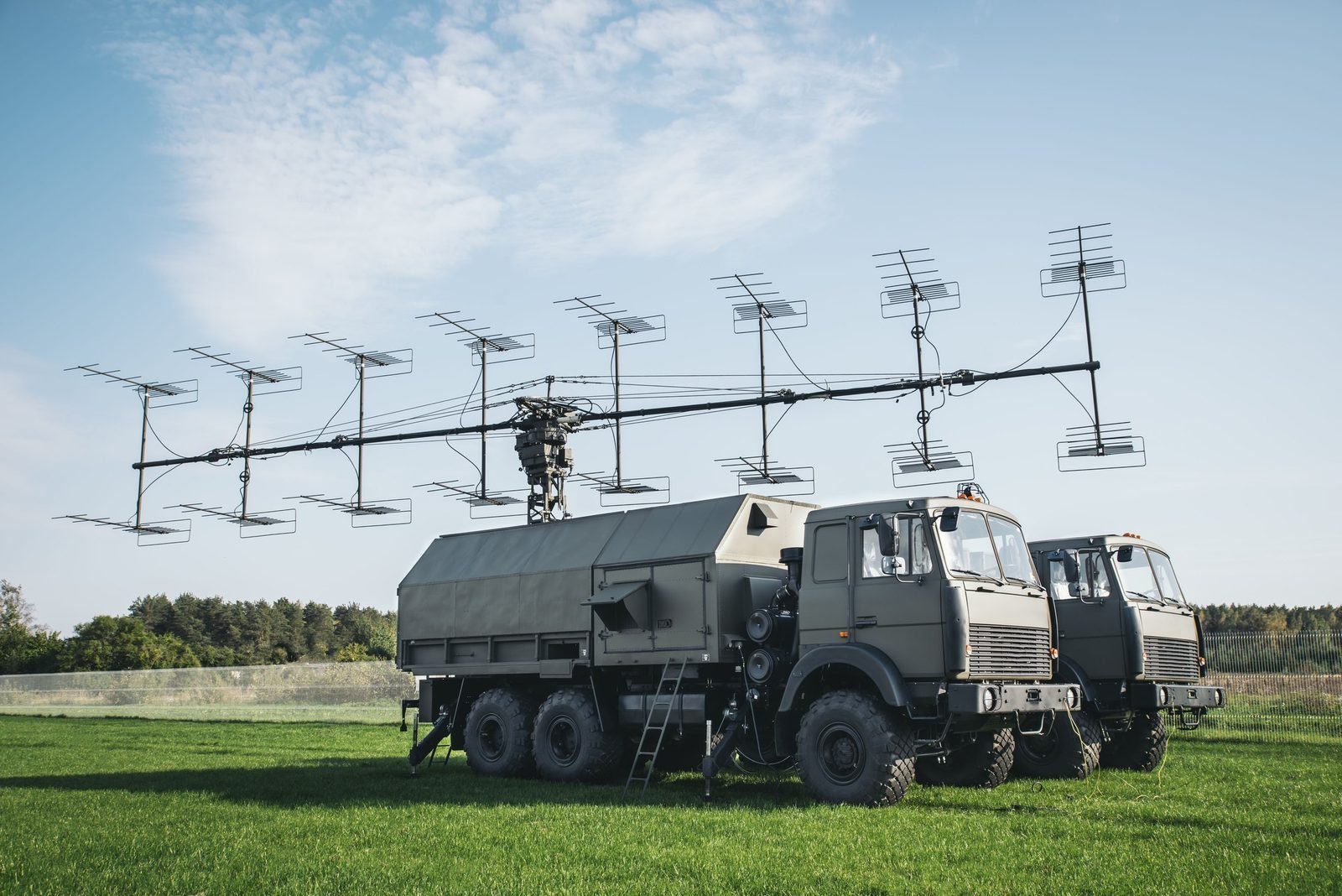
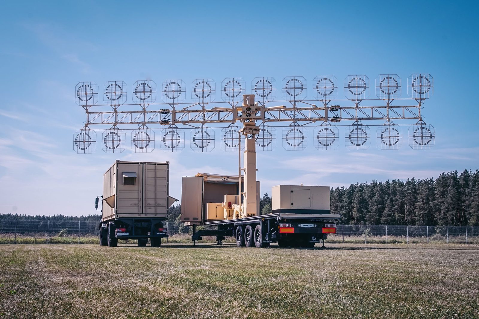
Figures are indicative and depend on configuration, site and target. The values that apply to a supply are those in the signed contract. Radars are controlled items and are supplied only to end users approved by the competent authorities.

Radar family

Other GIS radars and the command post.

Each radar can be delivered on its own or combined into a national network, with site planning, installation, crew training and maintenance by GIS.

P-18ML
P-18MLVHF surveillance radar, 360 kmView →
AMBER-1800
AMBER-1800Mobile VHF radar, ready in 12 minutesView →
MARS-L
MARS-LPrimary and secondary radar on one vehicleView →
P-14ML
P-14ML500 km early warning from existing sitesView →
RSP-10ML
RSP-10MLGround controlled approach in any weatherView →
MODULE
MODULEMobile command post for up to 16 sensorsView →

Plan a radar network with GIS. Site planning, supply, training and support.

Request a consultation