Layer 07 · Detect · MARS-L

MARS-L: primary and secondary radar on one vehicle

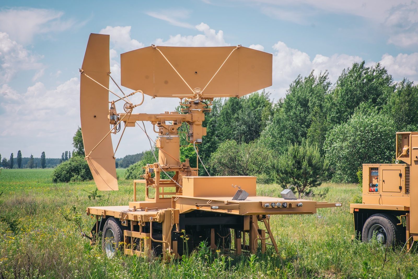
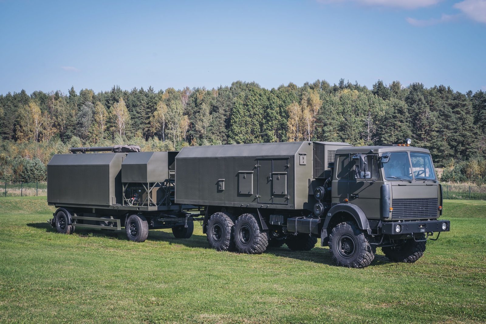
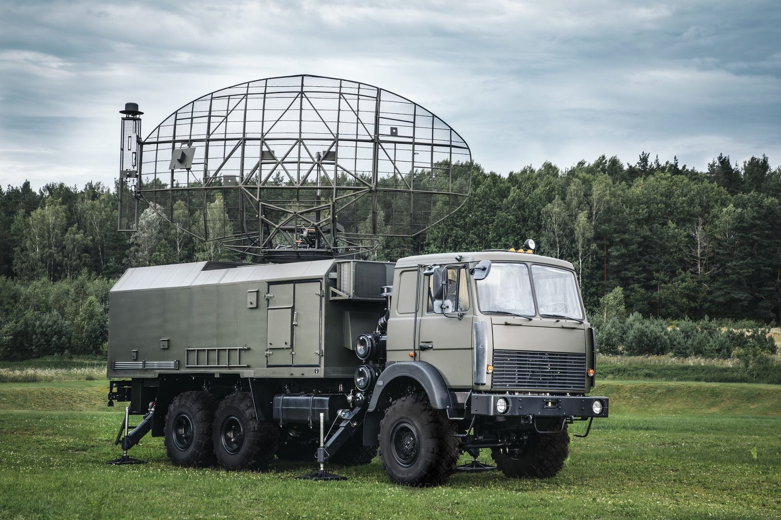
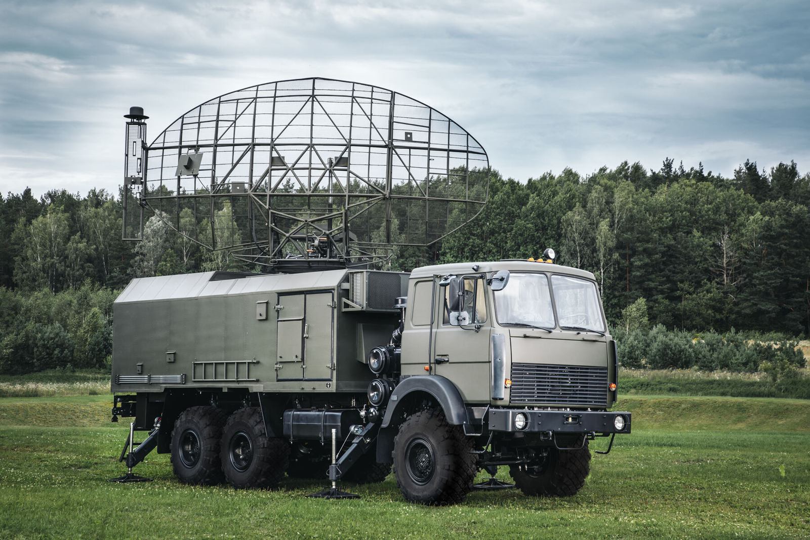
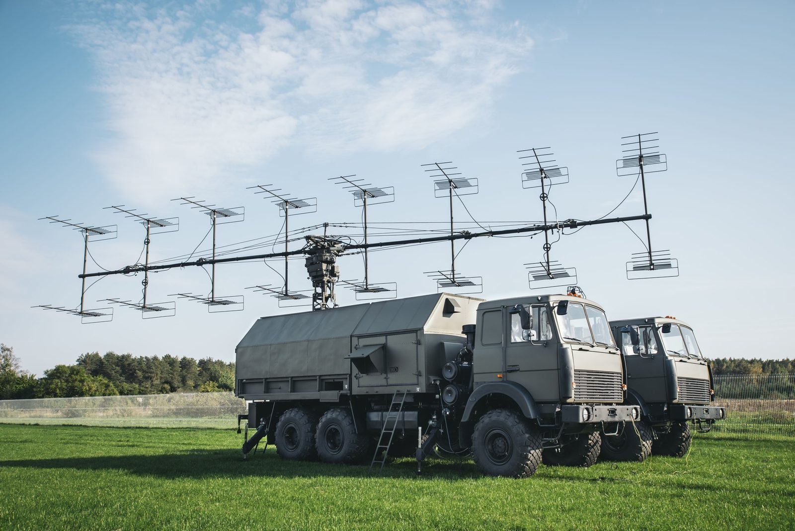
A mobile radar that combines a primary and a secondary surveillance channel on one vehicle and one antenna, so a single crew sees both non cooperative aircraft and transponder equipped traffic. It serves air defence as a low altitude gap filler and civil and military air traffic control in the ICAO L band.

Produced by GIS in Bulgaria
MARS-L mobile primary and secondary surveillance radar
L band1,250 to 1,350 MHz, ICAO
PSR + SSROne vehicle, one antenna
10 minDeployment
3 IFFRBS, Mk XA and Eastern
AutoDetection, low to high altitude
Why MARS-L

What it brings to the air picture.

In detail

MARS-L functions and characteristics.

MARS-L combines a primary radar, which sees any aircraft by its echo, with a secondary radar, which interrogates aircraft transponders. Combining both channels gives longer detection range and better accuracy at relatively low radiated power.

The secondary channel also delivers flight information such as flight number, altitude and fuel state. That improves flight safety and sharply reduces the risk of an air defence unit engaging a civil aircraft by mistake, which makes MARS-L suited to mixed civil and military airspace.
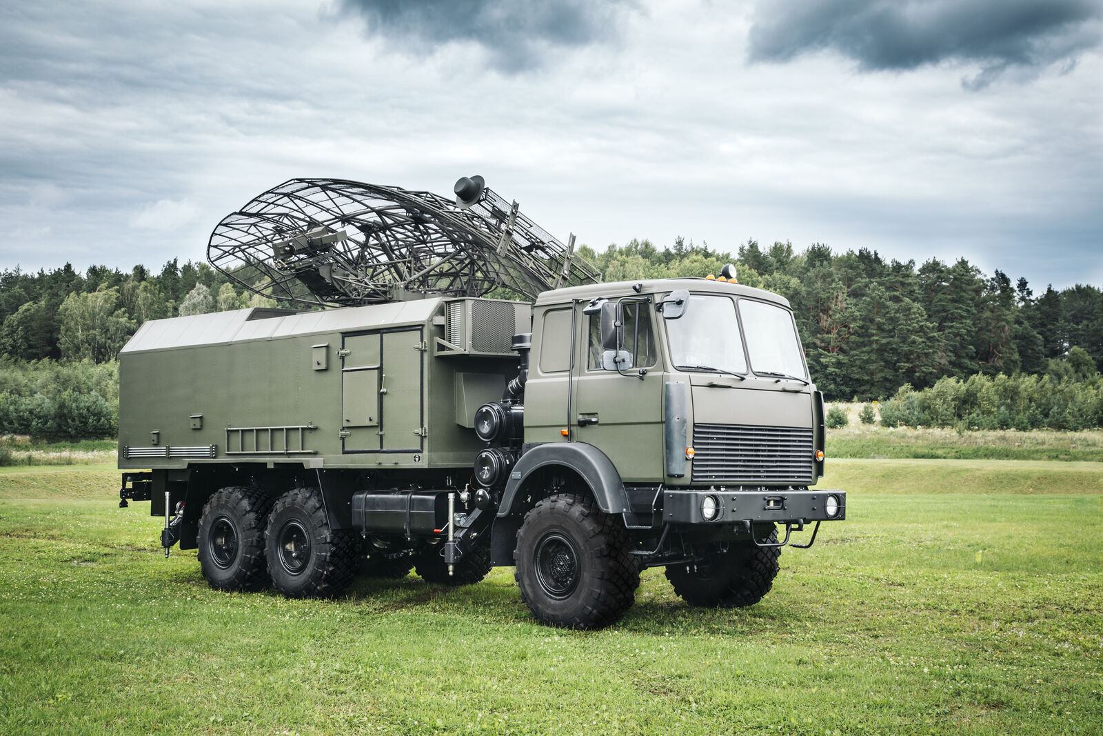
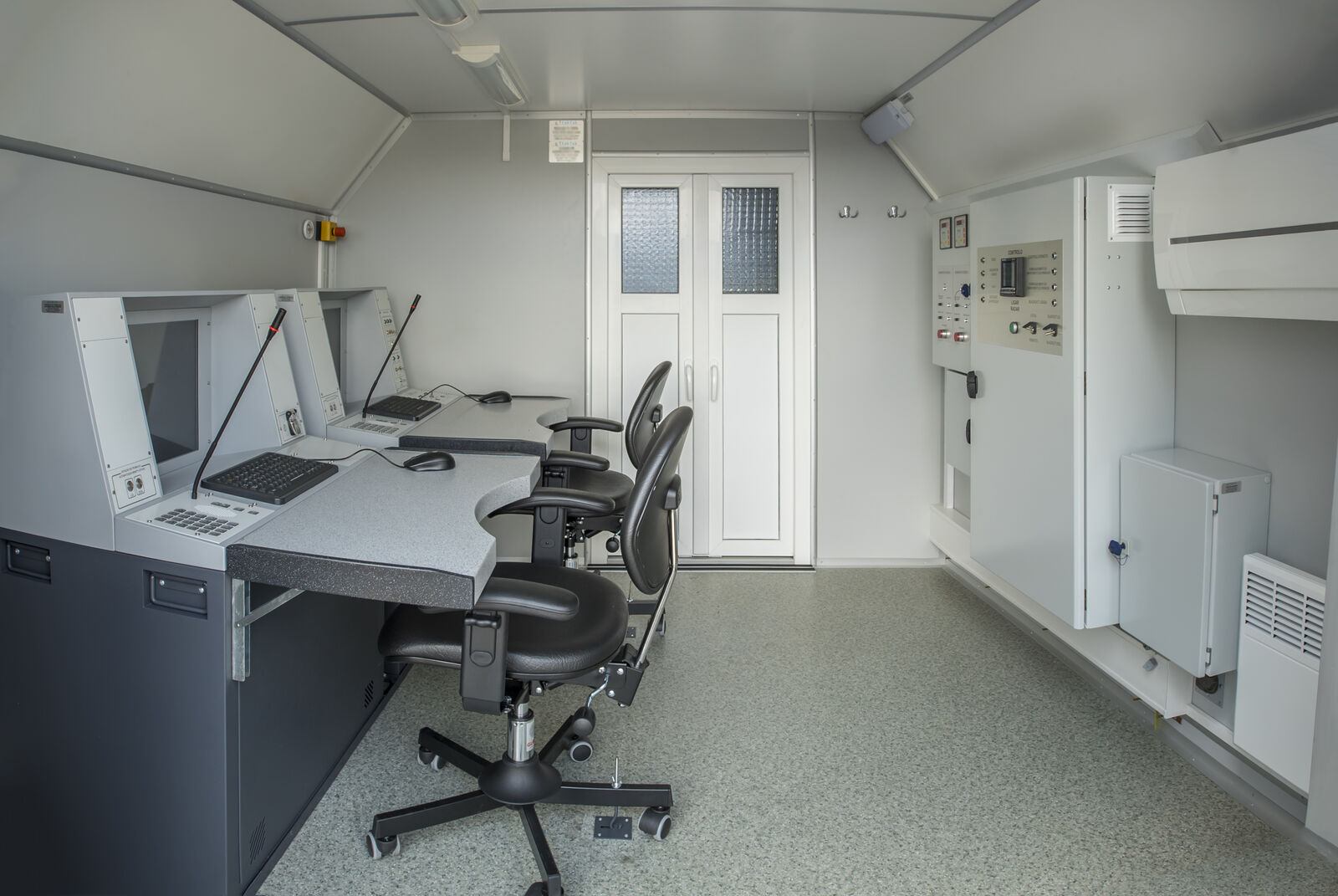
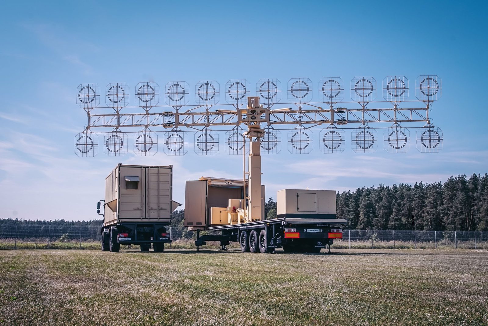
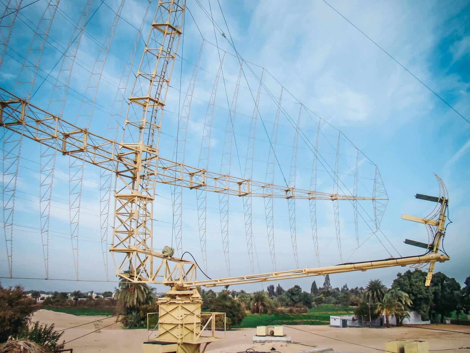
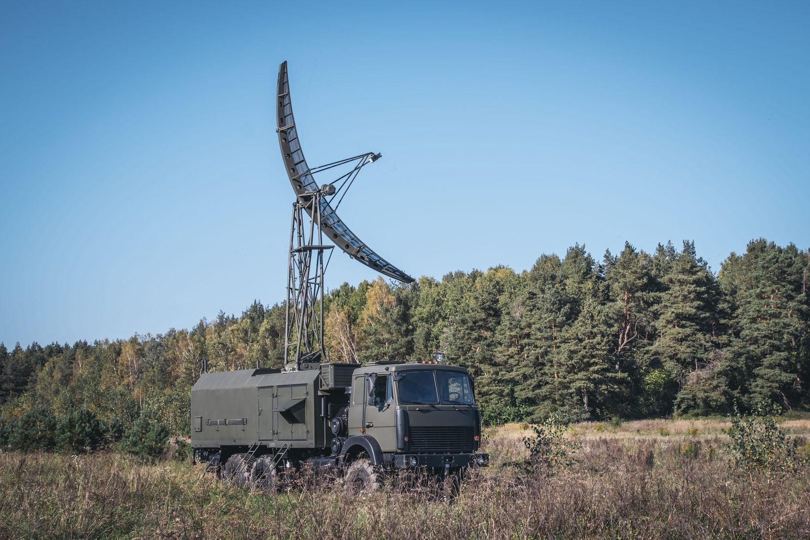
MARS-L
MARS-L
MARS-L
Functions
  • Aircraft detection, position display, automatic range and azimuth measurement
  • Transponder interrogation and display of replies
  • Fusion of primary and secondary data; automatic tracking and trajectory estimation
  • Acquisition of the air situation from other radars and multi radar tracking
  • Automatic height finder control and altitude calculation
  • Recording of the air situation; GPS based topographic referencing
  • Technical monitoring and diagnostics
Missions
  • Building radar coverage and air defence alert duty in peacetime
  • Flight assurance in the terminal area
  • Surveillance and combat information to air defence, air force and electronic warfare units
  • Support for joint flights with commercial and NATO aviation
Main characteristics
  • Automatic detection at low, medium and high altitude
  • Deployment in 10 minutes
  • Supports RBS, Mk XA and Eastern IFF transponders
Figures are indicative and depend on configuration, site and target. The values that apply to a supply are those in the signed contract. Radars are controlled items and are supplied only to end users approved by the competent authorities.

Radar family

Other GIS radars and the command post.

Each radar can be delivered on its own or combined into a national network, with site planning, installation, crew training and maintenance by GIS.

P-18ML
P-18MLVHF surveillance radar, 360 kmView →
AMBER-1800
AMBER-1800Mobile VHF radar, ready in 12 minutesView →
P-14ML
P-14ML500 km early warning from existing sitesView →
PRV-16ML
PRV-16MLHeight finder: the third dimensionView →
RSP-10ML
RSP-10MLGround controlled approach in any weatherView →
MODULE
MODULEMobile command post for up to 16 sensorsView →

Plan a radar network with GIS. Site planning, supply, training and support.

Request a consultation