Layer 07 · Detect

Radar systems

Military surveillance radars, height finders, automated command posts and dual purpose radars that secure borders and strategic sites, delivered with the infrastructure and trained crews to run them.

Produced by GIS in Bulgaria
Radar systems
Overview

Radar systems

A country can only defend the airspace it can see. Many armed forces still operate radars designed decades ago: reliable steel and antennas, but analogue electronics that are hard to repair, power hungry and blind to small, low flying targets. GIS offers new and modernised radars, designed to GIS specification, manufactured by our EU subcontractor, and sold, delivered and supported under the GIS brand.

Every programme covers more than the radar itself. We plan the sites, supply the command post and data links, integrate the new sensors with existing systems, and train the operators and technicians who will run them. Over time we create the supporting infrastructure a national radar network needs.

In this family
01AMBER-1800Mobile VHF band surveillance radar02MARS-LMobile combined primary and secondary L band radar03P-18MLLong range VHF surveillance radar04PRV-16MLMobile height finder05P-14MLUpgraded early warning VHF radar06RSP-10MLGround controlled approach system ("Long Talk")07MODULE command postAutomated mobile command post for air defence C4I083D radar complexAzimuth, range and height from mobile components
Products and solutions

New radars, deep upgrades and the networks that join them.

01New solid state radarsVHF, UHF and L band (1,250 to 1,350 MHz, ICAO) radars, including AMBER-1800, P-18ML, MARS-L, 5N84ML, NEBO-ML, P-19ML, PRV-16ML, ASR-22/AL, GCA-22AL and 1L-15MA.
02Deep upgrade of surveillance radarsNew electronics inside proven antennas and vehicles: longer range, automatic tracking and a lower cost of ownership than replacing the radar.
03Command and control postsCommand posts for air defence and air force units at every level, from a single radar company to a national centre.
04Air traffic control systemsAutomated systems for tower, approach and area control.
05Civil and military integrationJoint systems that raise flight safety and reduce military spending by sharing sensors and data.
06Maintenance, repair and trainingPost warranty maintenance, repair and modernisation of radars in service, and training of radar operators and technicians, as delivered to national air forces and ministries of defence.
GIS radar coverage planning software · own IP

How many P-18ML radars does a country need?

Spin the globe, pick any country where GIS works and see P-18ML radars placed to cover the whole territory and 100 km beyond the border, with the range rings and the altitude each ring covers.

Open the coverage globe →
Track record

Air forces and ministries of defence.

Supply of new surveillance radars, modernisation of radars in service, post warranty maintenance and operator training for national air forces and ministries of defence.

Angola · Air force

National Air Force of Angola

GIS solutions
  • ✓Supply of new ground based mobile UHF surveillance radars for low, medium and high altitude
  • ✓Post warranty maintenance of surveillance radars
  • ✓Modernisation of radars previously in service
  • ✓Training of radar operators
Egypt · Air defence

Egyptian Air Defense Forces

GIS solutions
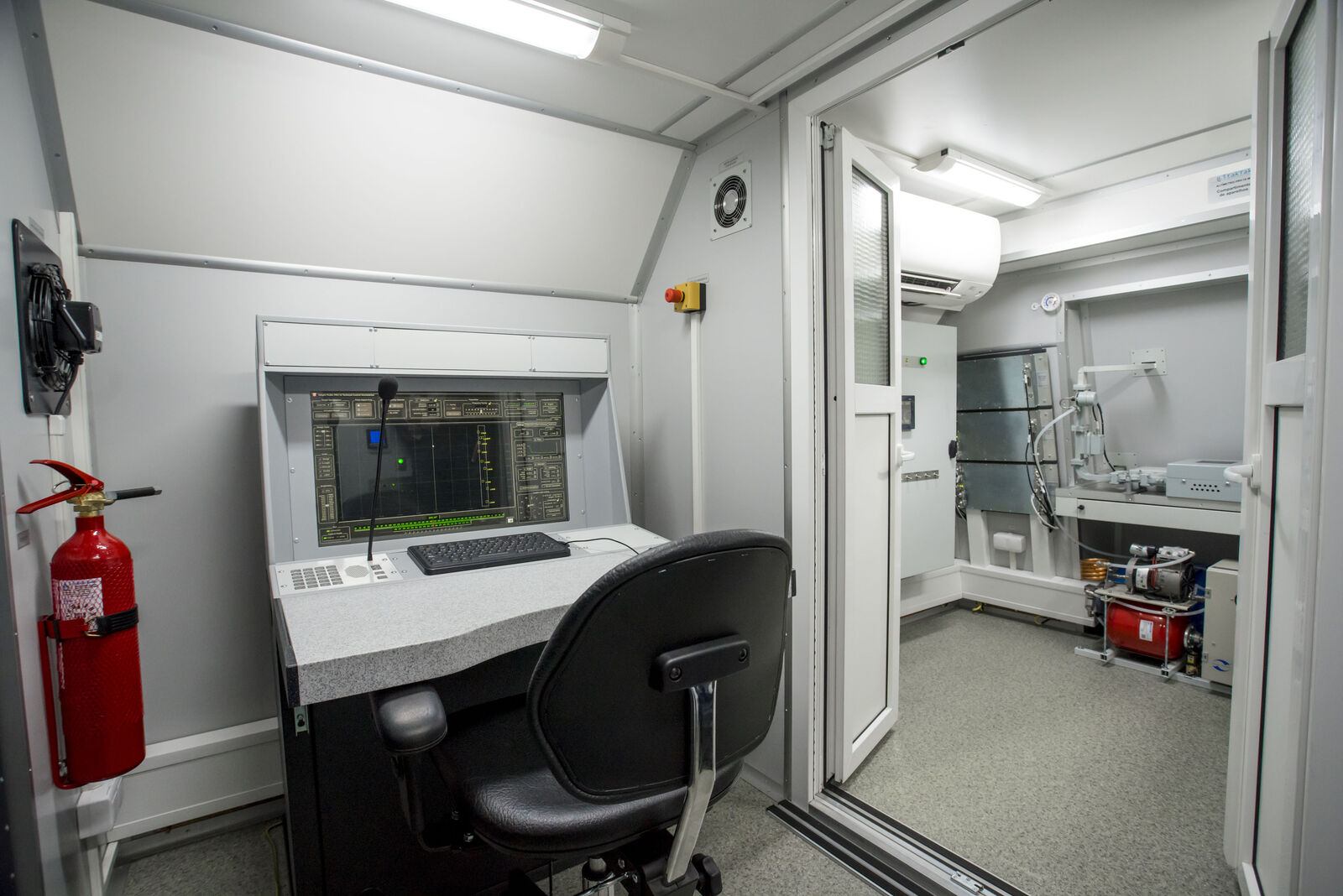
  • ✓Repair of UHF surveillance radars for low, medium and high altitude
  • ✓Post warranty maintenance of surveillance radars
  • ✓Training of radar operators
Ukraine · Ministry of defence

Ministry of Defence of Ukraine

GIS solutions
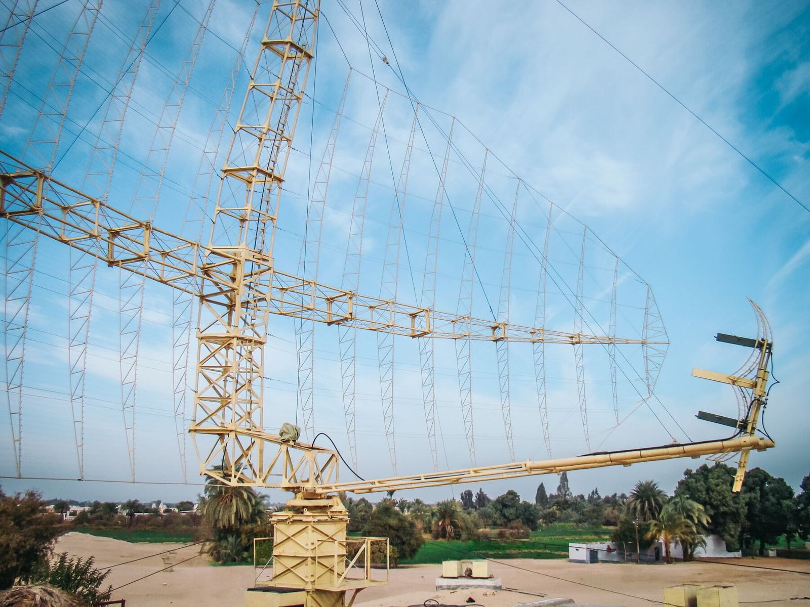
  • ✓Repair of UHF surveillance radars for low, medium and high altitude
  • ✓Post warranty maintenance of surveillance radars
  • ✓Modernisation of radars previously in service
  • ✓Training of radar operators
Also served  Indian Air Force, India · Air Force of Peru, Peru

Project statistics are those recorded at the time of the project.
01

AMBER-1800

Mobile VHF band surveillance radar
Produced by GIS in Bulgaria

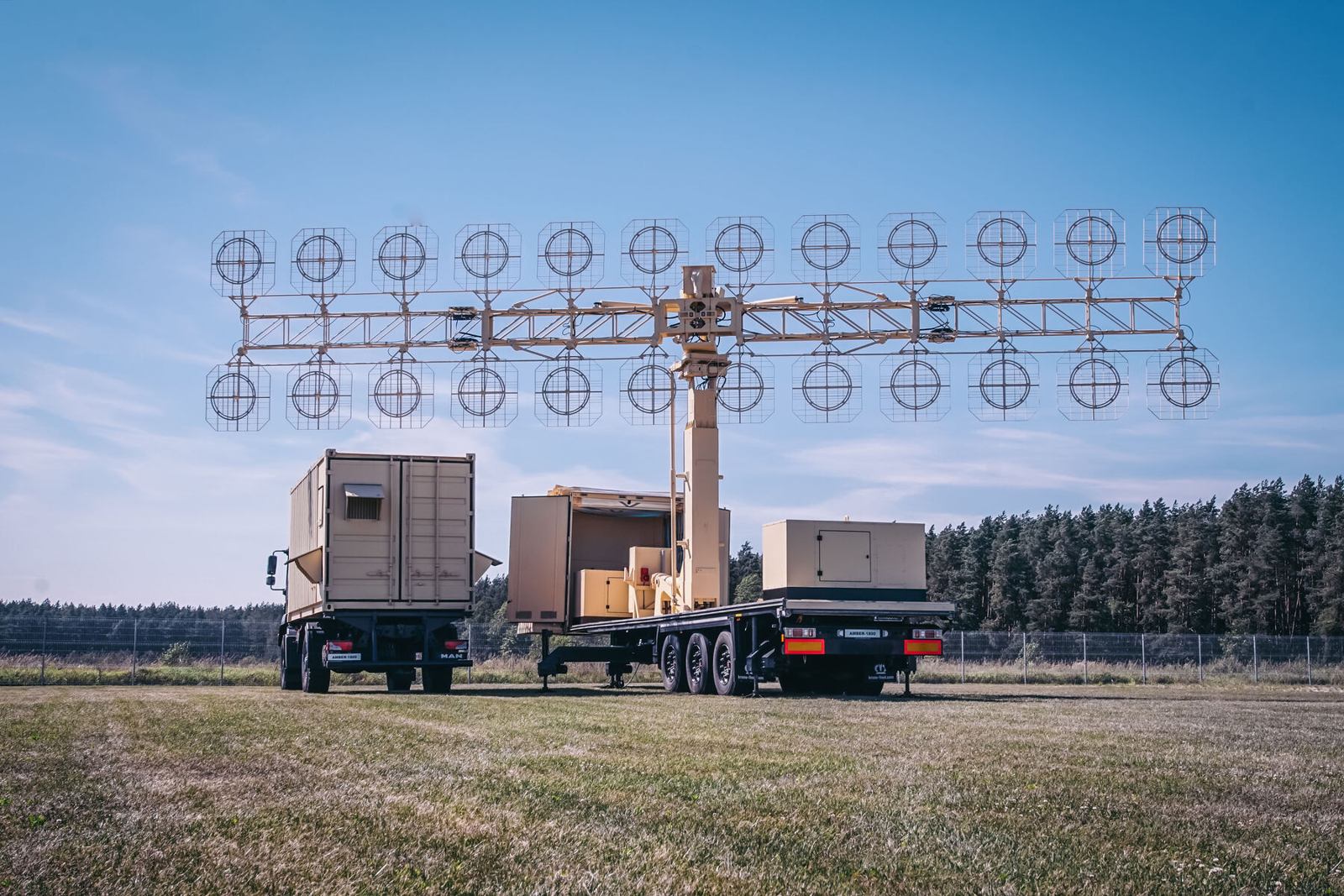
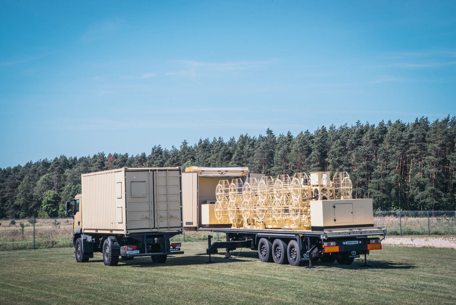
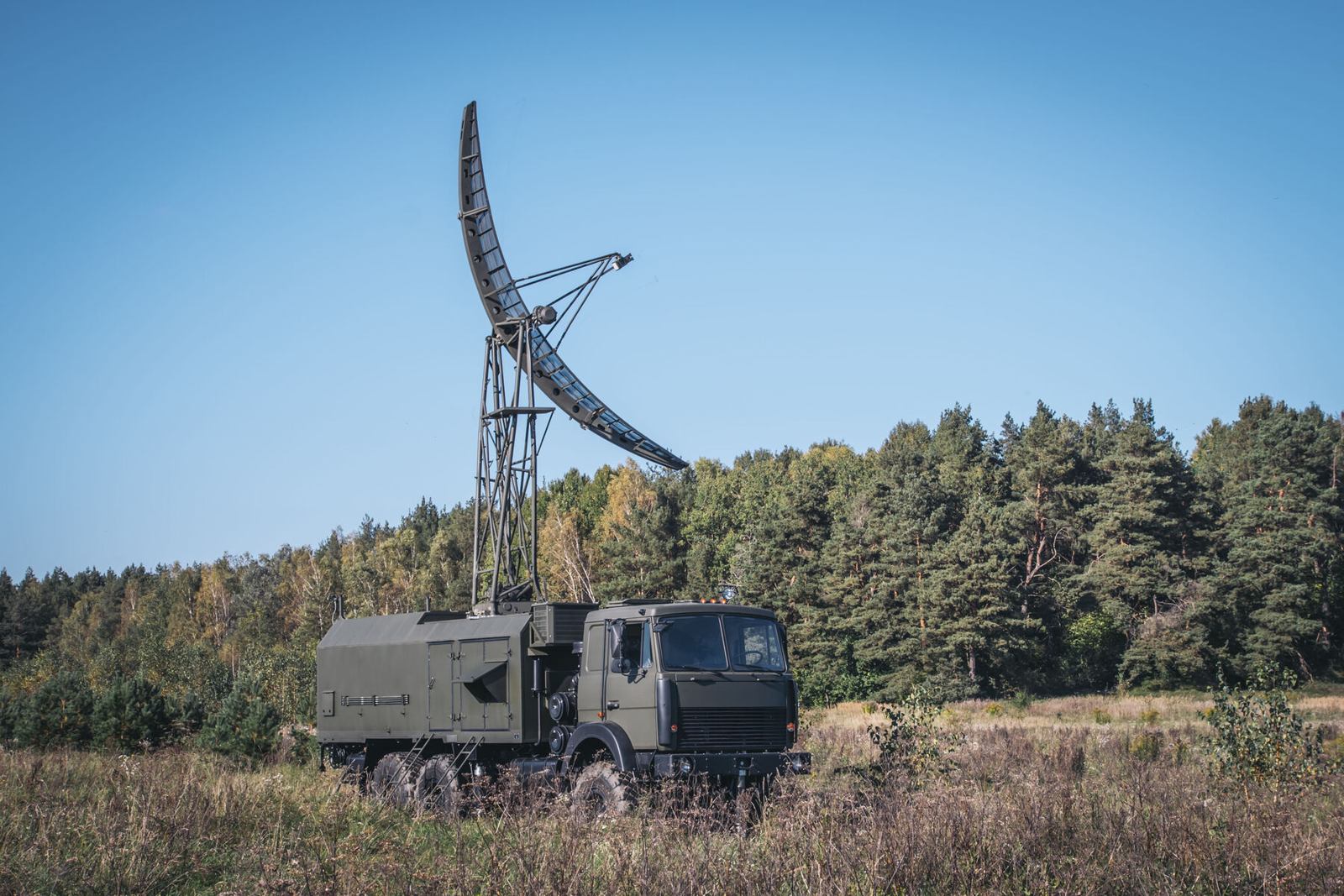
AMBER-1800 is a ground based mobile radar that deploys itself automatically on a prepared site. It detects air targets, measures their position, builds tracks and sends the air picture to whoever needs it. Its transmitter and receiver are fully solid state.

Working in the VHF band gives AMBER-1800 a practical advantage: at these wavelengths small and low observable targets, such as cruise missiles and stealth shaped aircraft, reflect more energy back to the radar, so they are detected further out than with higher frequency radars.

Full product page →
AMBER-1800
AMBER-1800
AMBER-1800
Functions
  • Automatic detection of air targets and their coordinates (azimuth, range)
  • Automatic track generation and tracking in set areas of airspace
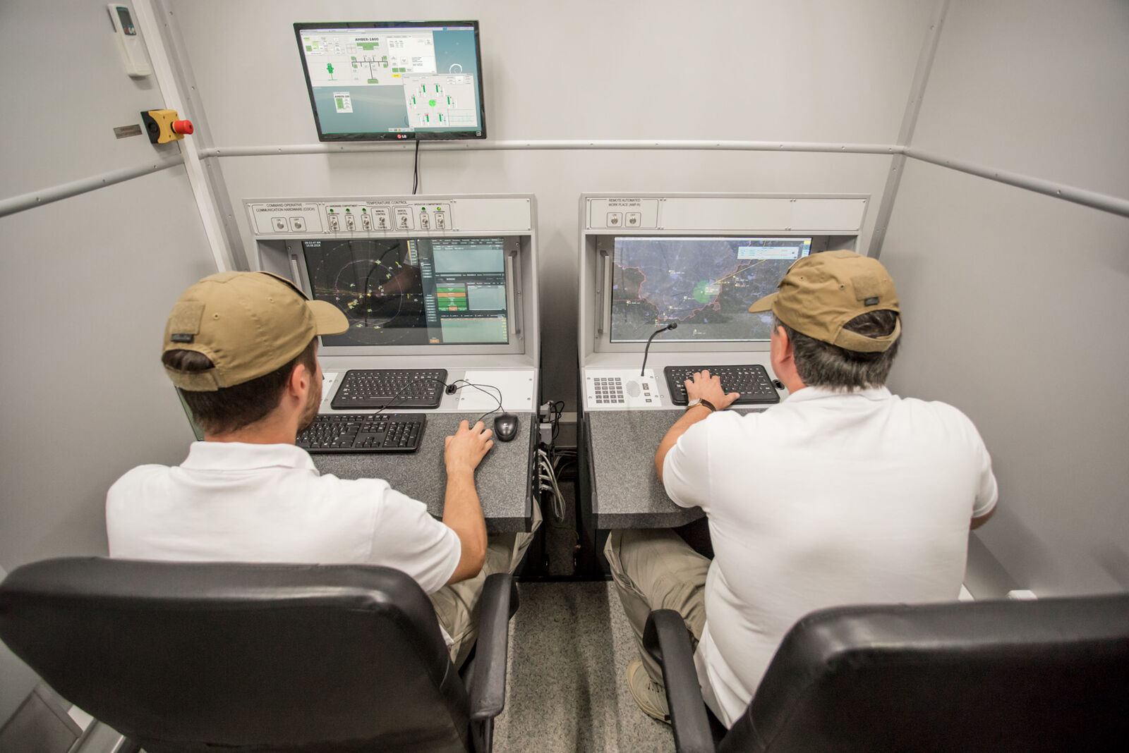
  • Display of video, plots and tracks; automatic distribution of the air situation over data links
  • Automatic elevation measurement commands to height finders, correlated with tracks
  • Recording of the air situation and of operator actions
  • Control of operating modes, technical monitoring and diagnostics
Composition
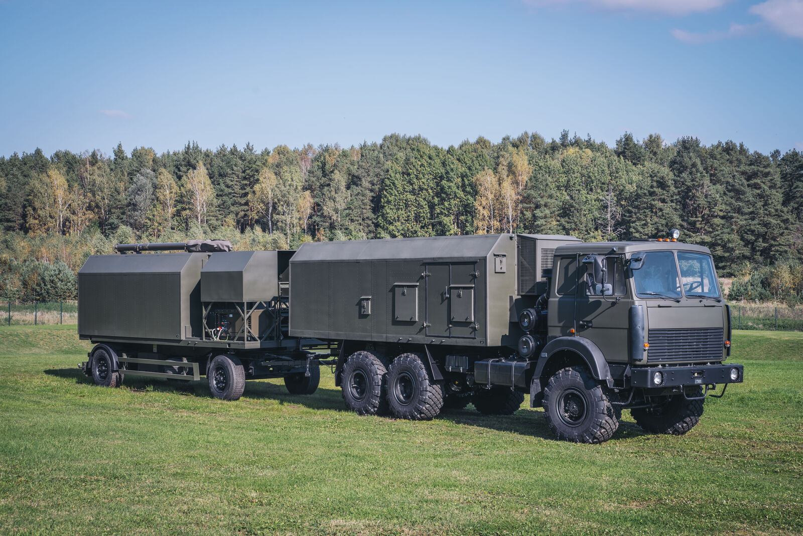
  • Vehicle 1: hardware cabin with the main electronic equipment
  • Vehicle 2: levelling platform with the antenna mast, antenna feeder system and two power plants
Main characteristics
  • Significantly greater detection range against low sized and low contrast targets
  • Stacked array of dipole slot antennas, linear horizontal polarisation
  • Fully automatic deployment and stowing in less than 10 minutes
  • Fully solid state, fail soft operation
  • Withstands wind of 35 m/s and up to 10 mm of icing
Key figures
Frequency band140 to 180 MHz, gapless
Beam width6 degrees
Side lobe level20 dB
Antenna rotation3 or 6 rpm
Wind and ice35 m/s wind, up to 10 mm icing
Ready on site12 minutes
02

MARS-L

Mobile combined primary and secondary L band radar
Produced by GIS in Bulgaria

MARS-L combines a primary radar, which sees any aircraft by its echo, with a secondary radar, which interrogates aircraft transponders. Combining both channels gives longer detection range and better accuracy at relatively low radiated power.

The secondary channel also delivers flight information such as flight number, altitude and fuel state. That improves flight safety and sharply reduces the risk of an air defence unit engaging a civil aircraft by mistake, which makes MARS-L suited to mixed civil and military airspace.

Full product page →
MARS-L
MARS-L
MARS-L
Functions
  • Aircraft detection, position display, automatic range and azimuth measurement
  • Transponder interrogation and display of replies
  • Fusion of primary and secondary data; automatic tracking and trajectory estimation
  • Acquisition of the air situation from other radars and multi radar tracking
  • Automatic height finder control and altitude calculation
  • Recording of the air situation; GPS based topographic referencing
  • Technical monitoring and diagnostics
Missions
  • Building radar coverage and air defence alert duty in peacetime
  • Flight assurance in the terminal area
  • Surveillance and combat information to air defence, air force and electronic warfare units
  • Support for joint flights with commercial and NATO aviation
Main characteristics
  • Automatic detection at low, medium and high altitude
  • Deployment in 10 minutes
  • Supports RBS, Mk XA and Eastern IFF transponders
03

P-18ML

Long range VHF surveillance radar
Produced by GIS in Bulgaria

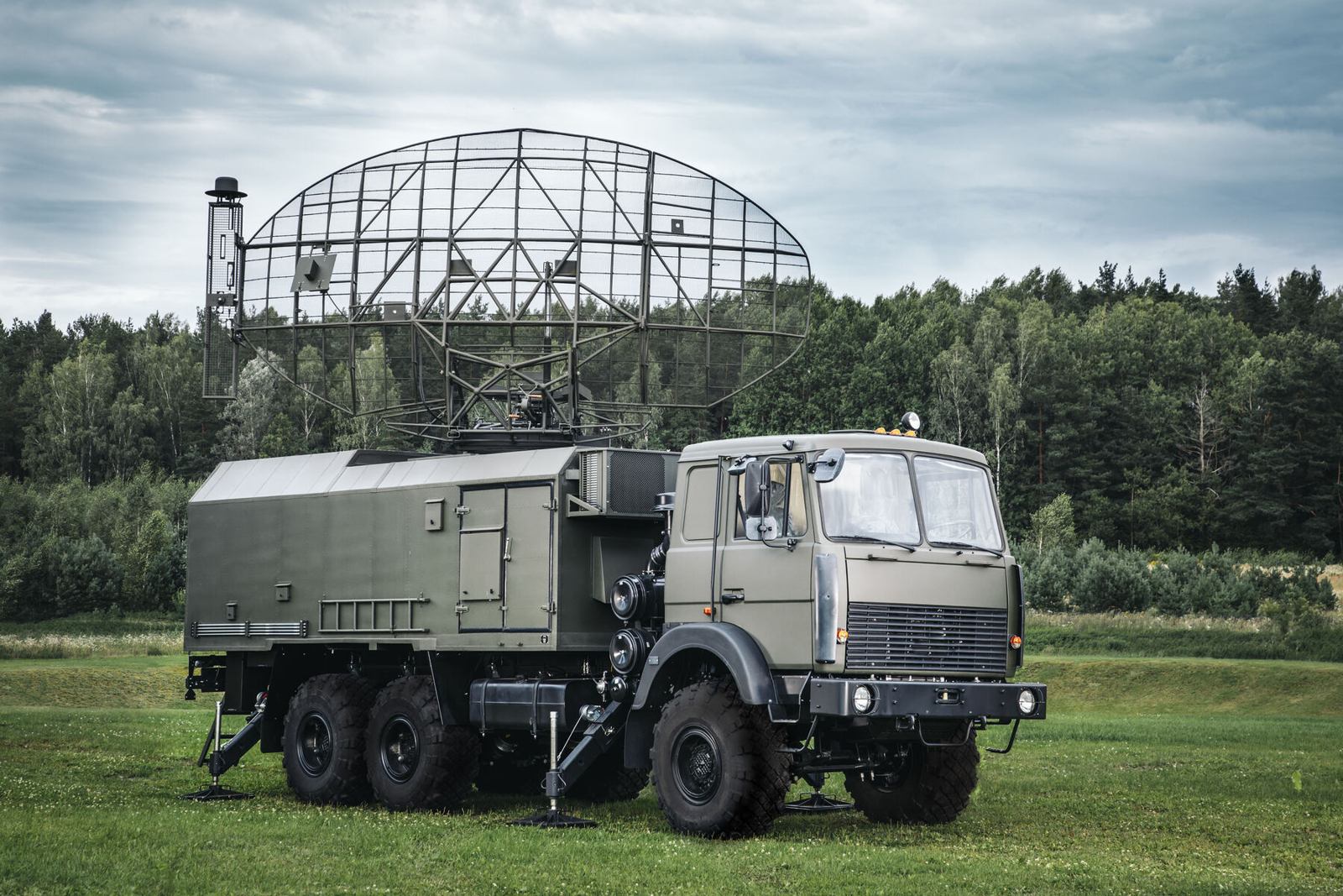
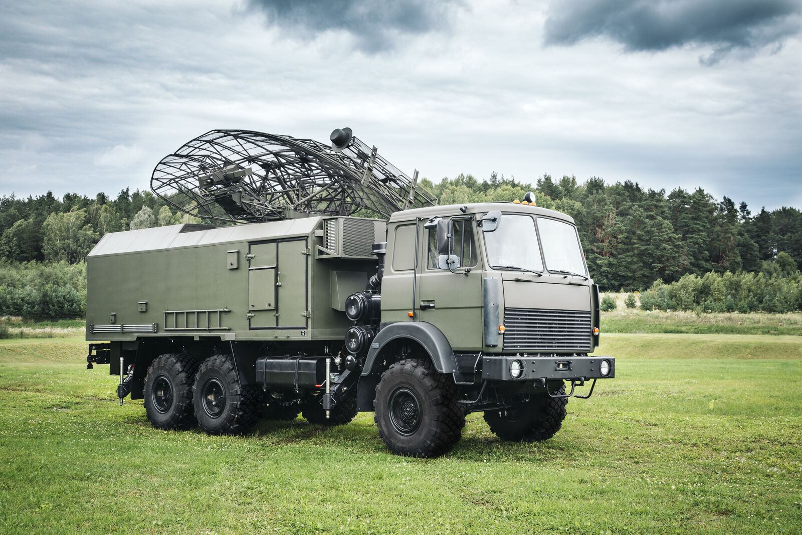
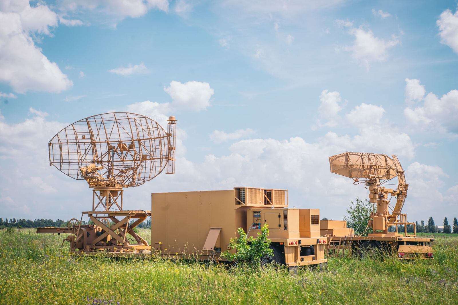
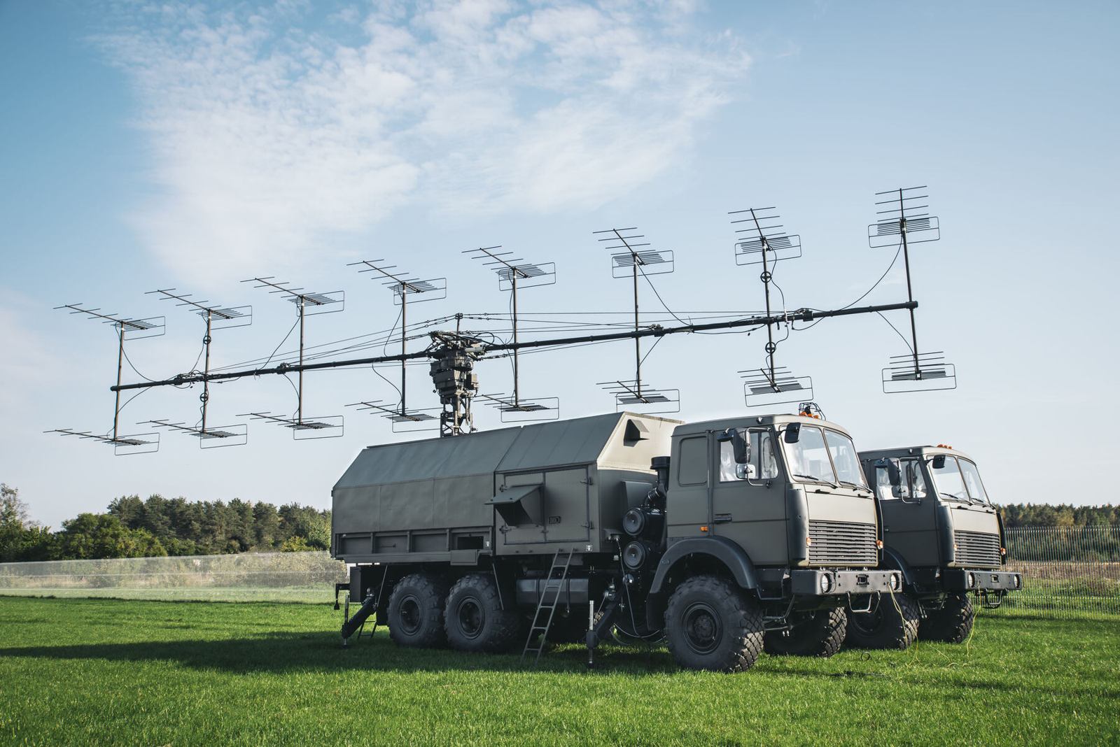
P-18ML is the modernised follow on to the analogue P-18 (1RL131 Terek, "Spoon Rest"), one of the most widely deployed early warning radars in the world. The upgrade keeps the proven VHF antenna concept and replaces the electronics with modern digital signal processing built on commercial components.

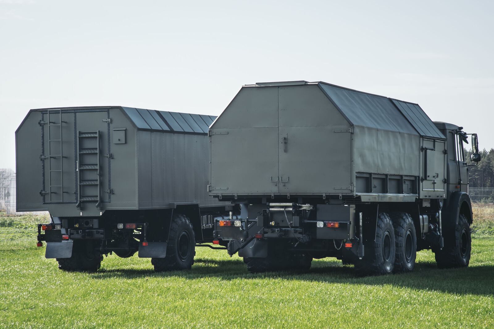
The result is a radar that detects further, tracks automatically and shares its data with other radars and height finders over standard links. Fewer vehicles are needed than for the original, and the whole system can be mounted on trucks, trailers, a single semi trailer or a fixed site.

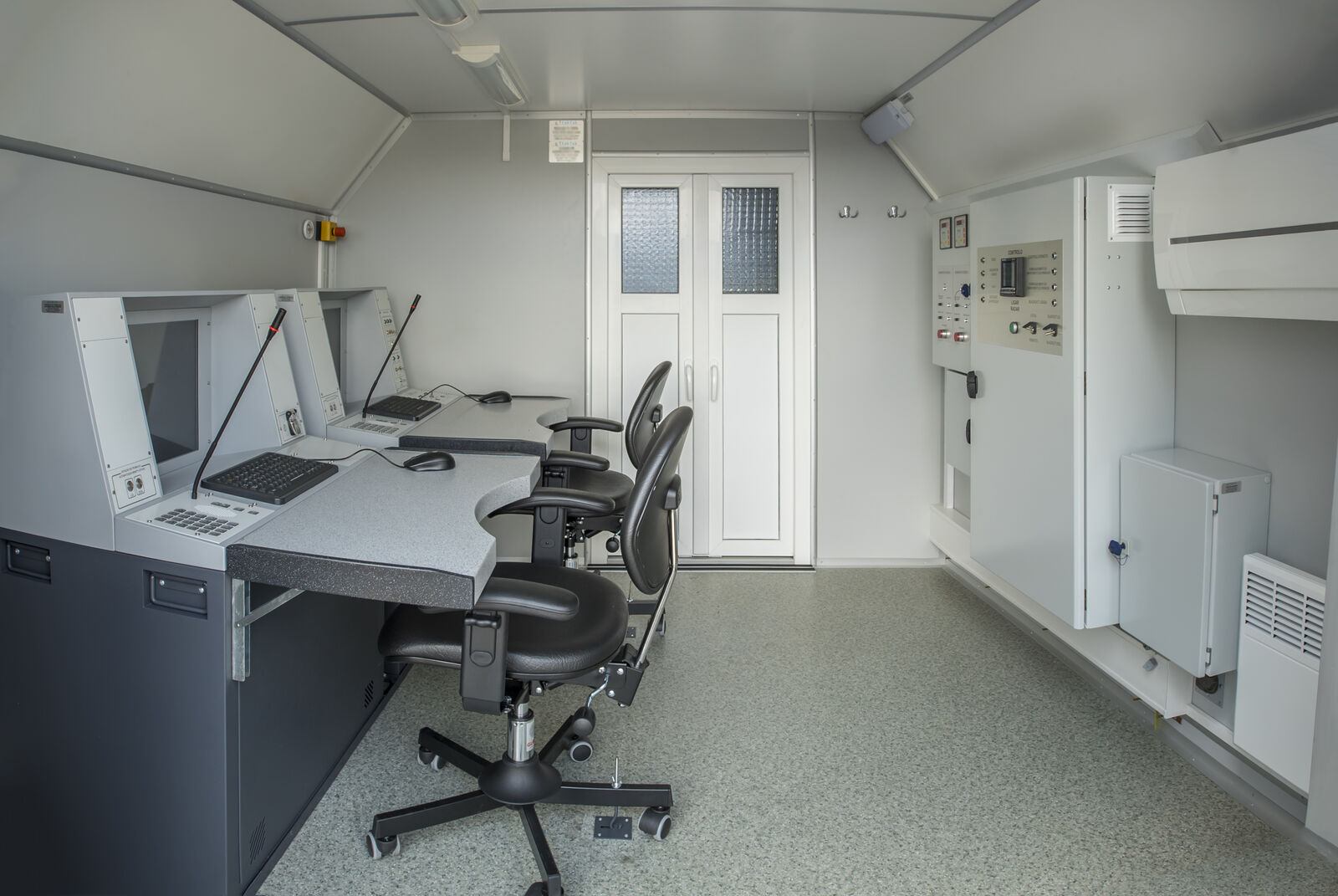
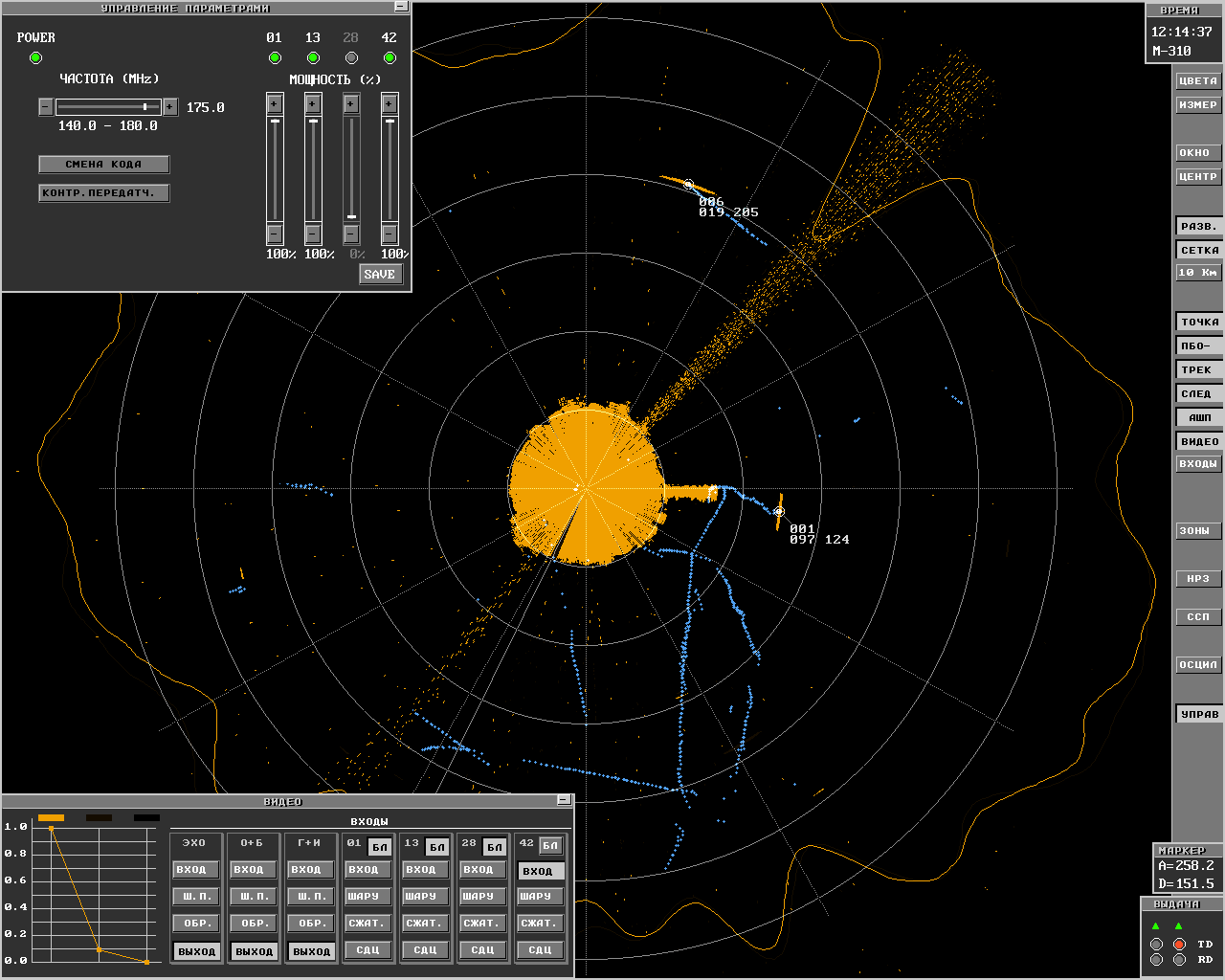
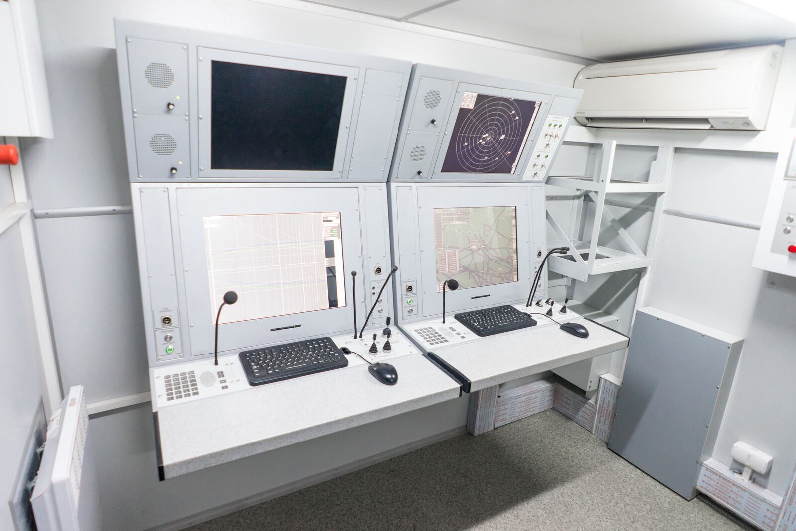
The operator works at a modern display that shows plots, tracks and the air picture on one screen and sends the data automatically to users over standard links. The metric band gives the radar its counter stealth capability, and a stable, fail soft, modular solid state transmitter keeps it on the air when individual modules fail.

Full product page →
P-18ML
P-18ML
P-18ML
Design options
  • Several chassis configurations; fewer vehicles than the original
  • Two generators in a compartment of the antenna mast vehicle or on separate vehicles
  • Single semi trailer or trailers without vehicle chassis
Main characteristics
  • Significantly greater detection range against low sized targets such as cruise missiles and low contrast stealth targets
  • Low reflections from weather, so performance barely depends on conditions
  • Long duration, adjustable probing signals
  • Automatic height finder control
  • Built on commercial off the shelf components
  • Largely simplified maintenance and minimum cost of ownership
Key figures
Detection, target at 100 m32 km
Detection, target at 500 m70 km
Detection, target at 1,000 m80 km
Detection, target at 3,000 m120 km
Detection, target at 10,000 m360 km
Reference targetRCS 2.5 m²
Pulse powerfrom 8 kW, depending on the transmitter modules fitted
Frequency band140 to 180 MHz
04

PRV-16ML

Mobile height finder
Produced by GIS in Bulgaria

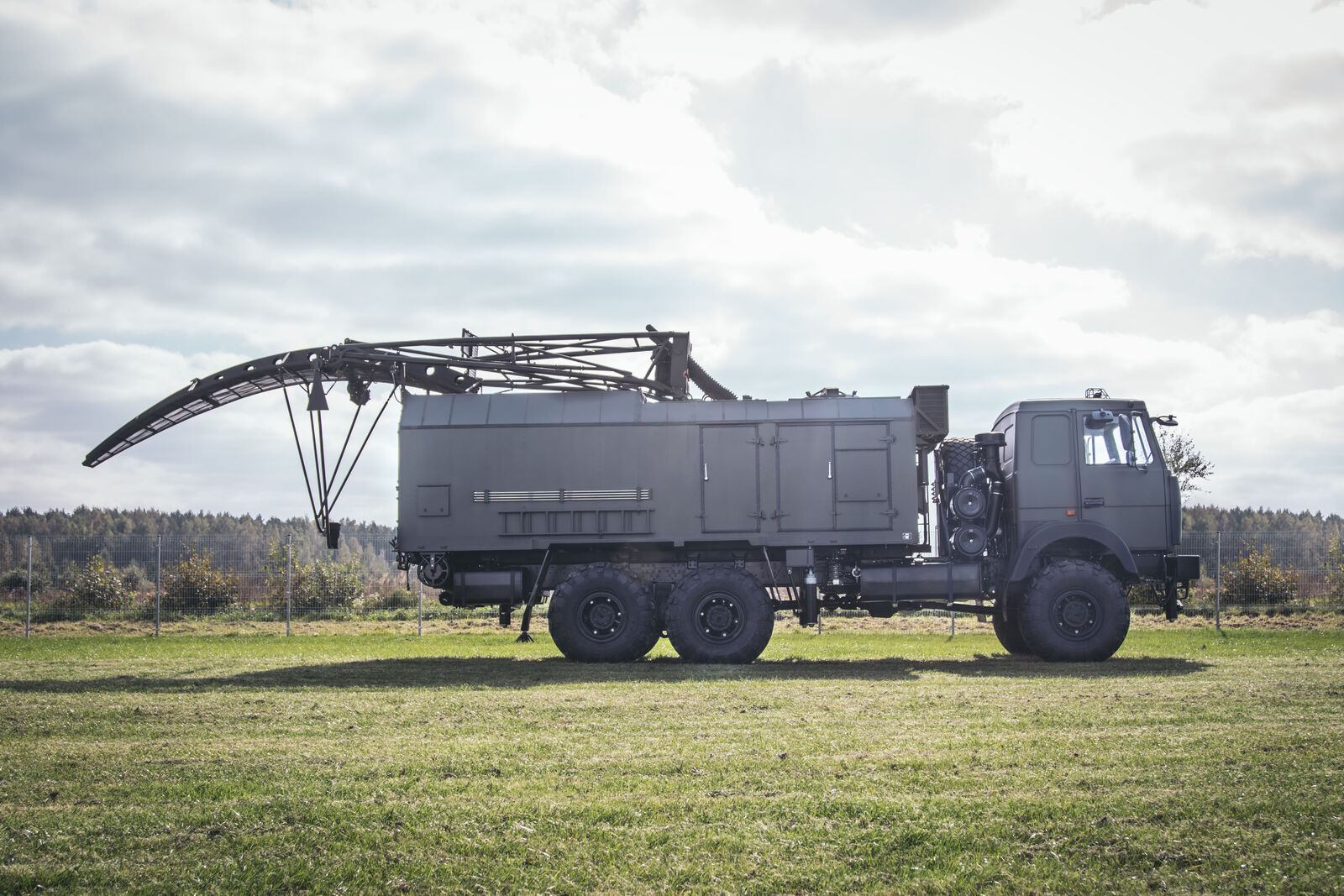
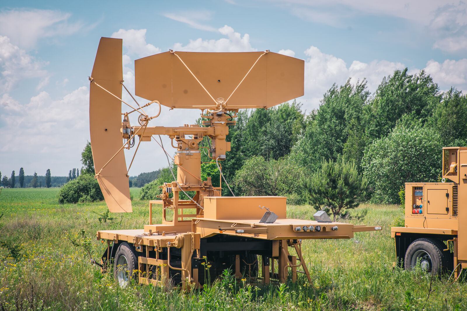
A 2D surveillance radar tells you where a target is on the map, not how high it flies. PRV-16ML adds the third dimension: it takes target designations from a surveillance radar or command system, measures the target's altitude and also finds the bearing of active jammers.

Together with 2D radars such as the upgraded P-18 or P-19, PRV-16ML forms the backbone of a 3D radar complex. It interfaces with P-18ML, P-14ML, MARS-L and the Module command post, and distributes data in ASTERIX format by default.

Full product page →
PRV-16ML
PRV-16ML
PRV-16ML
Main functions
  • Acquisition and processing of target designations from radars and command units
  • Automatic detection and measurement of azimuth, slant range and elevation; height calculation
  • Data distribution in ASTERIX format
  • Display of designations, air situation and weather at the technical workstation
  • Manual designation by the operator with automatic height measurement
  • Automatic detection and bearing of active jammers
  • Semi automatic levelling and GPS positioning; automatic diagnostics
Key figures
Fighter at 100 m40 km
Fighter at 500 m80 km
Fighter at 1,000 m120 km
Fighter at 45,000 m210 km
Slant range resolution400 m or better
Elevation resolution0.5 or better
05

P-14ML

Upgraded early warning VHF radar
Produced by GIS in Bulgaria

The P-14 family (1RL113 Lena, 44Zh6 Furgon, 5N84A Oborona-14, "Tall King") still stands guard in many countries. Upgrading it to P-14ML is the most cost efficient alternative to restoring or repairing the legacy radar.

The upgrade improves detection performance, adds automatic tracking and lets the radar receive data from other surveillance radars and height finders, so an old early warning site becomes part of a modern digital network.

Full product page →
P-14ML
P-14ML
P-14ML
Main characteristics
  • Greater detection range against low sized and low contrast targets
  • Low sensitivity to weather clutter
  • Long duration, adjustable probing signals
  • Automatic height finder control
  • Built on commercial components; trailer, semi trailer or fixed installation
  • Largely simplified maintenance
Key figures
Detection rangeup to 500 km
Transmitter pulse power30 kW
BandVHF
06

RSP-10ML

Ground controlled approach system ("Long Talk")
Produced by GIS in Bulgaria

RSP-10ML guides aircraft and helicopters safely to the runway in normal and bad weather. It combines an airport surveillance radar, with primary and secondary channels on one antenna, and a precision approach radar that gives the controller both horizontal and glide path guidance.

The primary channel works in the ICAO L band, the secondary channel on standard RBS frequencies (interrogation 1030 MHz, reply 1090 MHz) and Eastern UVD (1030 and 740 MHz). The precision approach radar works in X band.

Full product page →
RSP-10ML
RSP-10ML
RSP-10ML
Main characteristics
  • Solid state transmitter with soft failure redundancy
  • Automatic recording of the air situation
  • Efficient operation in a jamming environment
  • Independent of airborne equipment
  • Secondary channel for RBS, Mark X and Eastern IFF
Key figures
Operating frequency800 MHz to 1.2 GHz
Start up time3 to 5 minutes
07

MODULE command post

Automated mobile command post for air defence C4I
Produced by GIS in Bulgaria

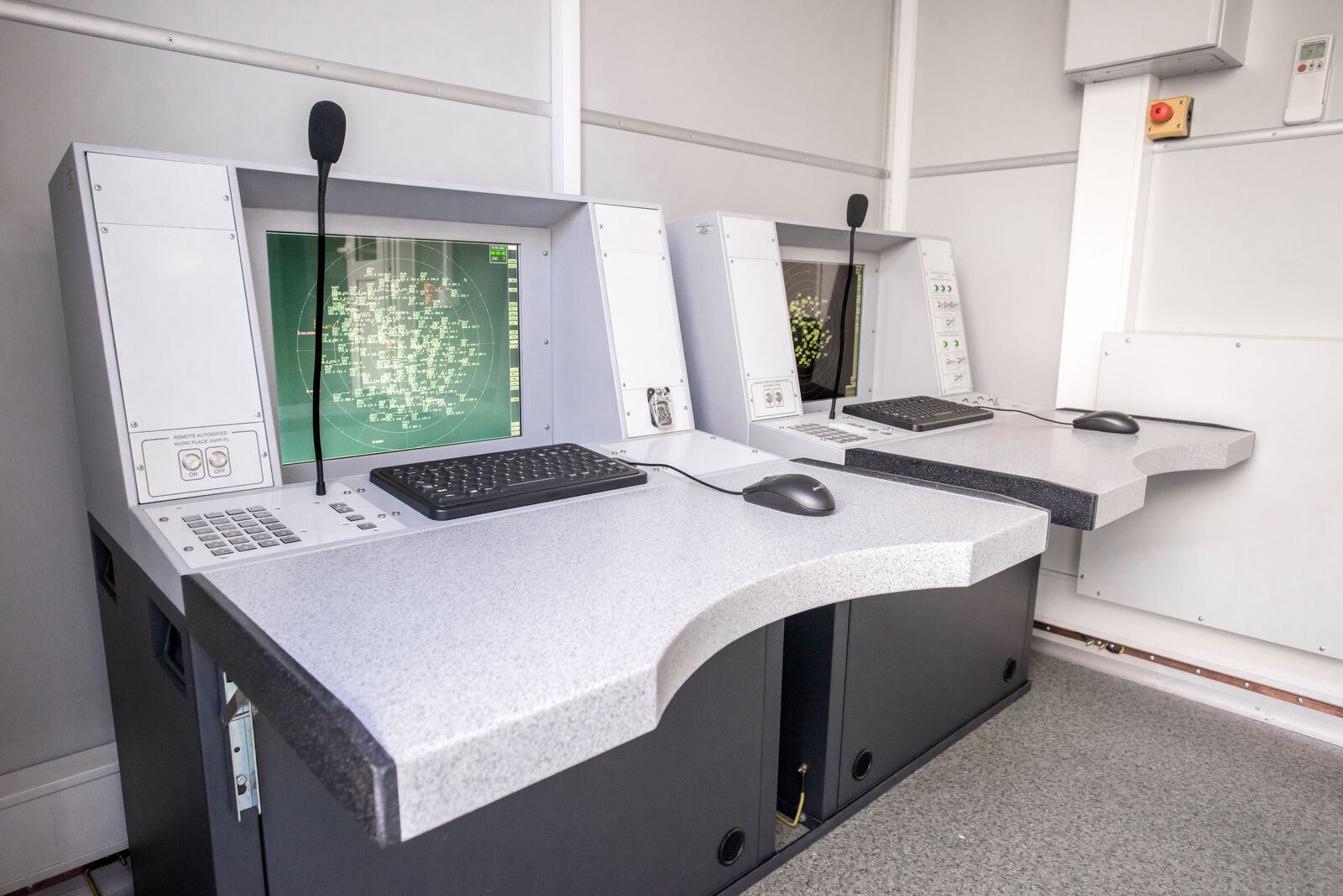
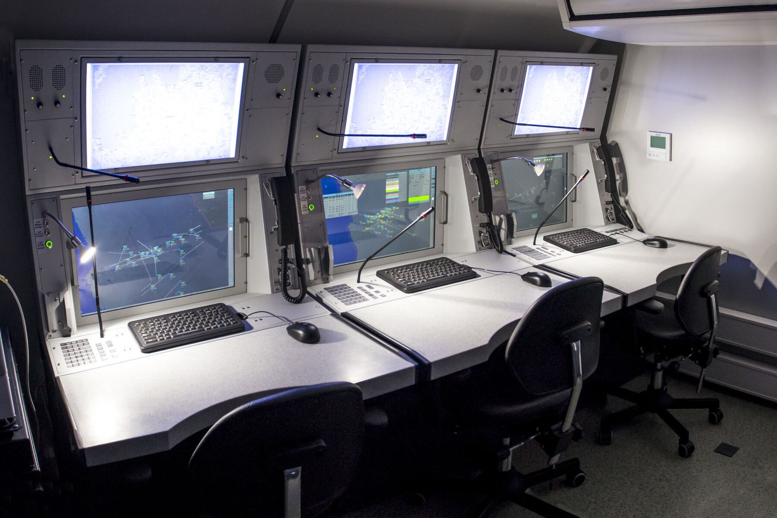
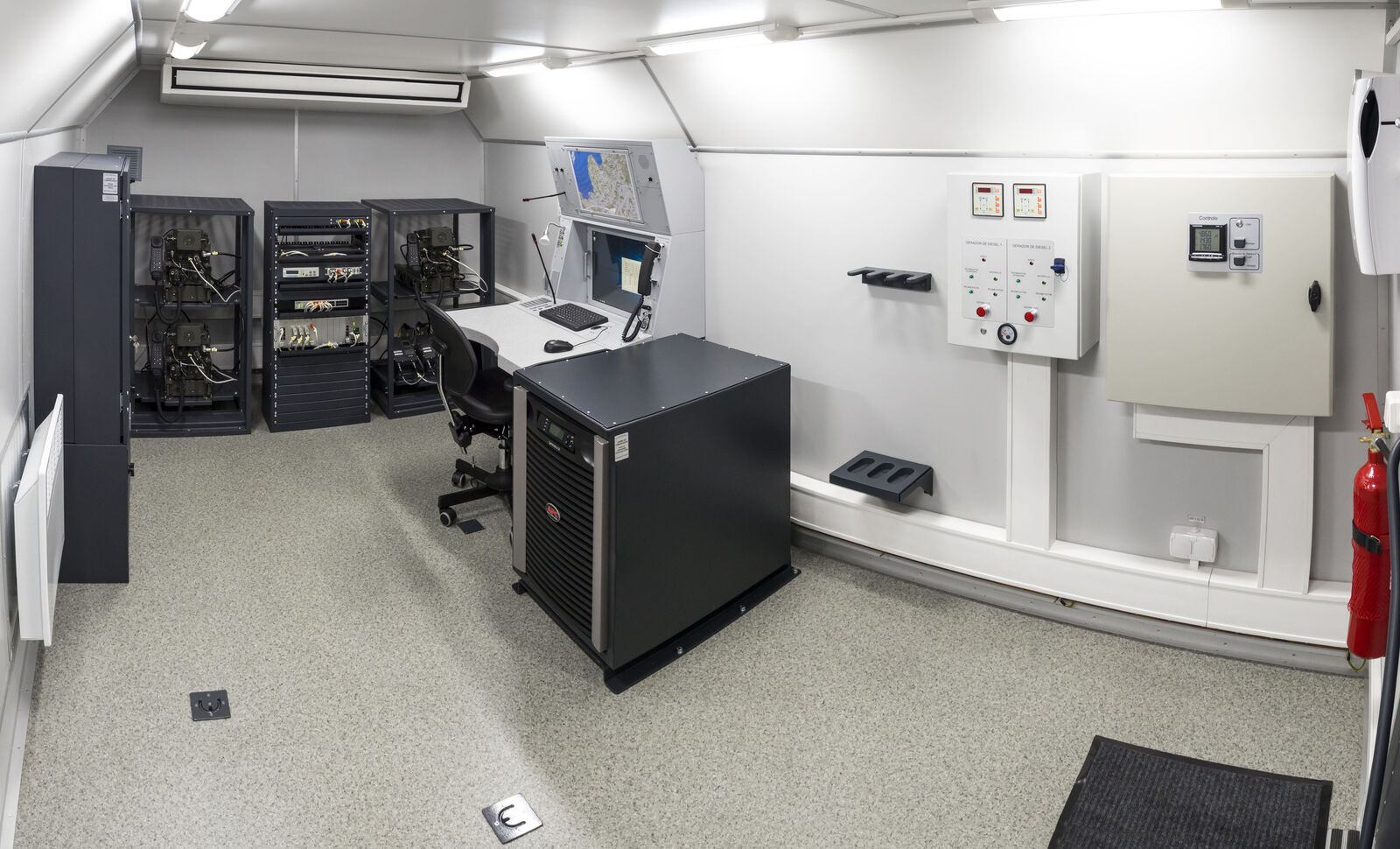
Radars produce data; a command post turns that data into decisions. The Automated Mobile Command Post "Module" is the basic element of air defence and air force command, control, communications and computer (C4I) networks.

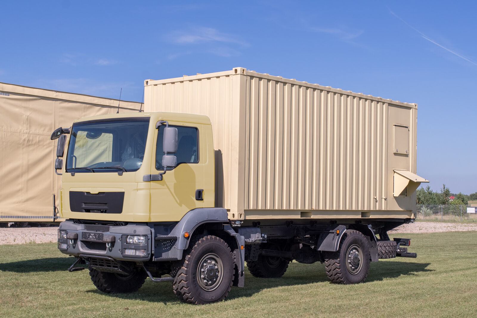
Its open architecture lets it serve as a control and reporting post or a control and reporting centre. All equipment sits in a shelter on a truck or trailer, or in a fixed building. An optional ADS-B receiver adds high accuracy data from equipped aircraft at two updates per second.

Full product page →
MODULE command post
MODULE command post
MODULE command post
Basic configuration
  • 4 operator workstations with role assignment and easy reconfiguration
  • Data processing and distribution on 2 redundant servers
  • Recording server and command and control communications
  • 2 duplicated LANs
  • Power supply with two 9 kW generators and UPS
  • Temperature control and ventilation
Main functions
  • Processing and display of the air situation from digital radars and analogue radars fitted with A1000 extractors
  • Data from height finders and IFF; IFF interrogation
  • Intelligent automatic or manual targeting of subordinate height finders
  • Distribution of the recognised air picture to subordinate and supporting units
  • Radar coverage and engagement area calculation on digital maps
  • Simulation of air situations for training; recording of crew actions, voice and data
  • GPS location and master clock; automatic reports and alerts
  • Optional control of air defence missile units and ground controlled intercept
Key figures
MTBF500 hours
Interfaced sensors16
Message protocolASTERIX
Display range800 km
Display altitude60 km
Display speed3,600 km/h
08

3D radar complex

Azimuth, range and height from mobile components
Produced by GIS in Bulgaria

Buying a new 3D radar is expensive. The 3D mobile radar complex reaches the same result by combining a solid state 2D surveillance radar (P-18ML, MARS-L, AMBER-1800 or P-14ML) with the PRV-16ML height finder, all managed from the Module command post.

The complex offers high location accuracy, mobility and survivability, fully automatic operation and a competitive price: a real alternative to modern 3D radars.

3D radar complex

Supply, infrastructure and trained people, as one programme.

Request a consultation