Layer 07 · Detect · MODULE

MODULE: mobile command post for up to 16 sensors

The building block of brigade level air defence and air force command posts. MODULE connects different radar types automatically, with fighter control and air defence battalion control built in. Designed and produced by GIS in house.

Produced by GIS in Bulgaria
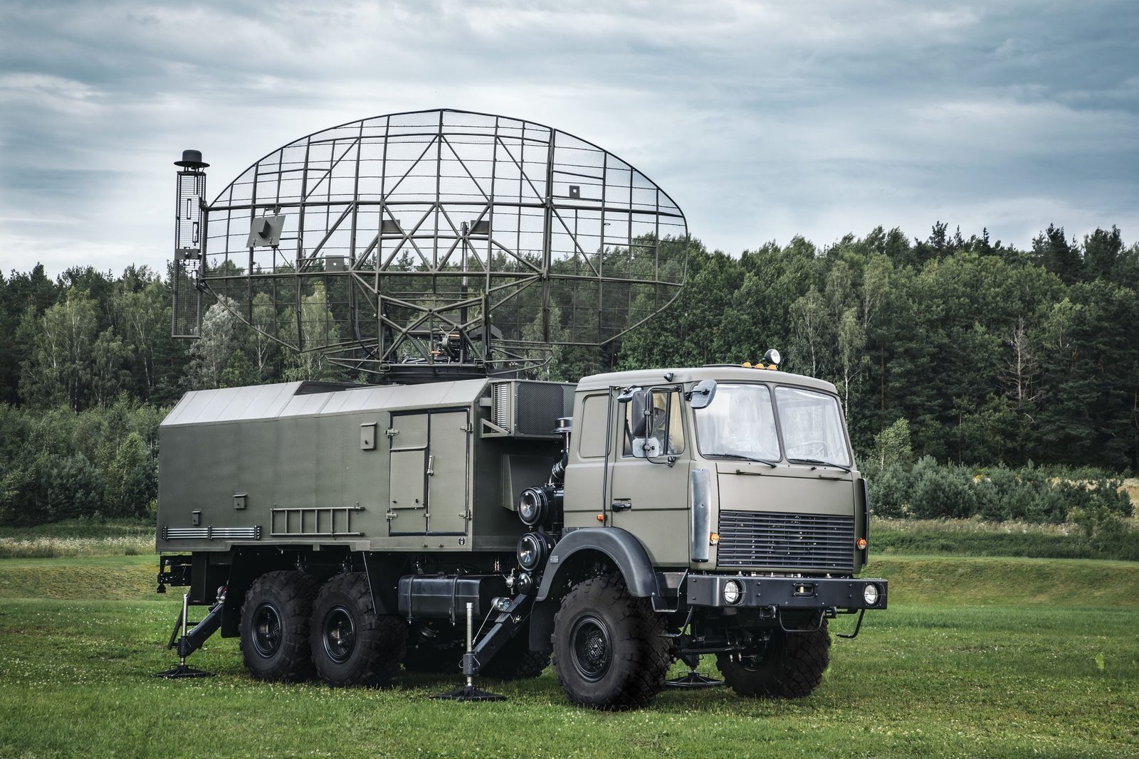
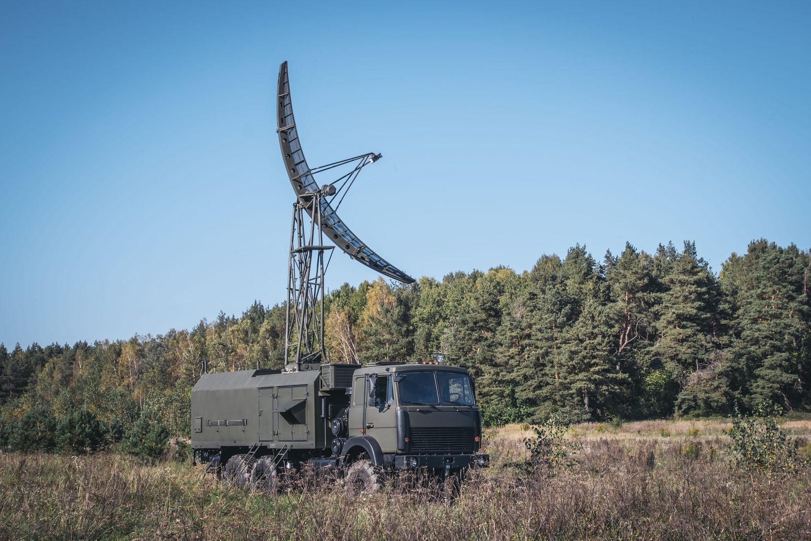
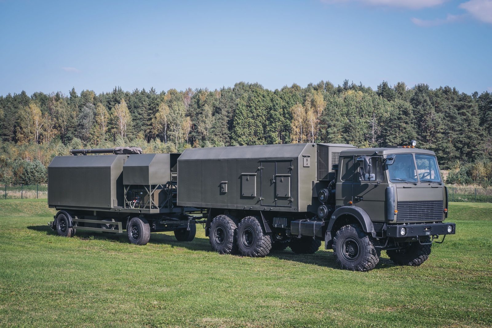
MODULE mobile command post vehicles
16Surveillance sensors interfaced
800 kmDisplay range
60 kmDisplay altitude
3,600 km/hTarget speed
500 hMTBF
Why MODULE

What it brings to the air picture.

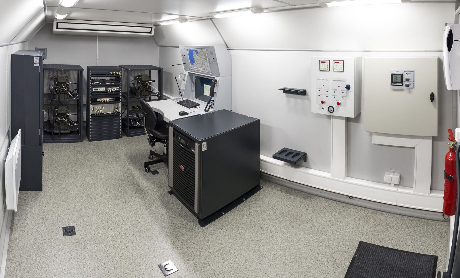
Inside MODULE

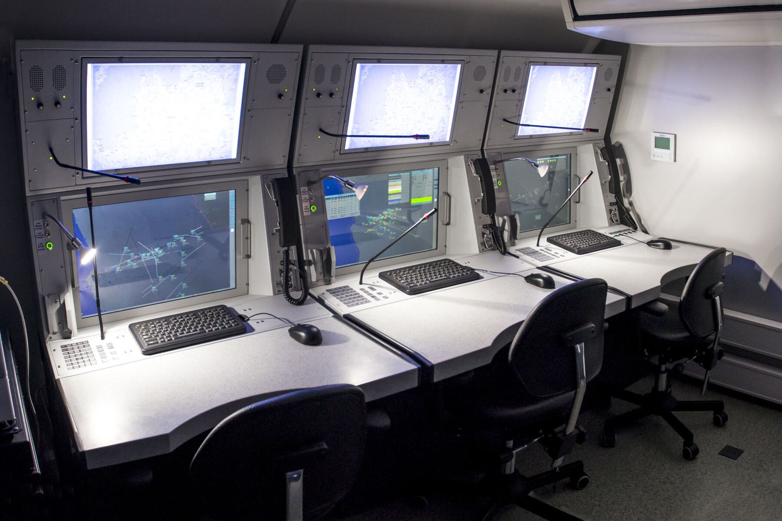
Operator cabin and equipment.

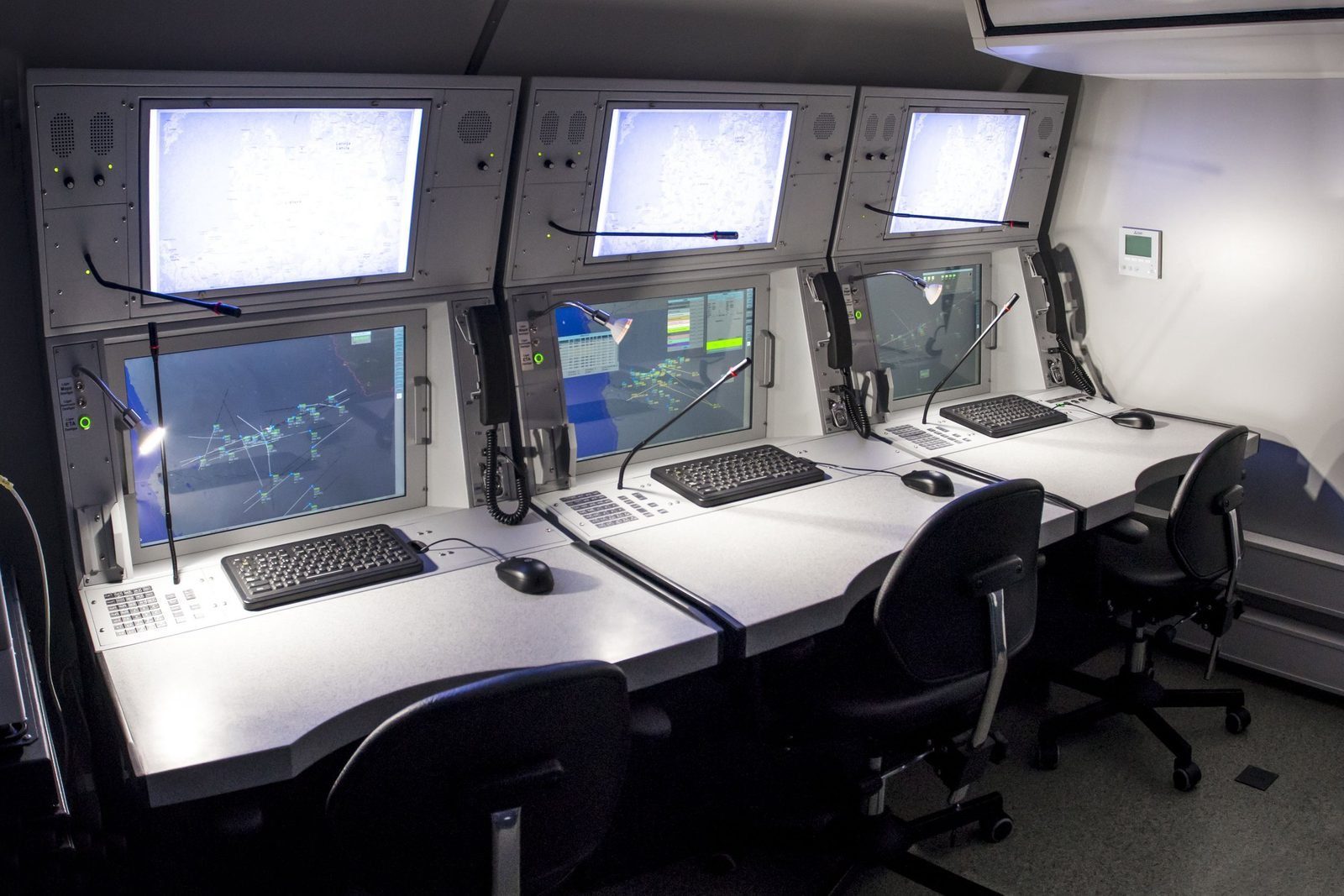
Operator workstations
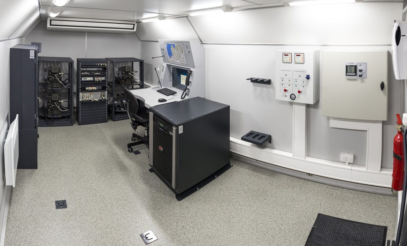
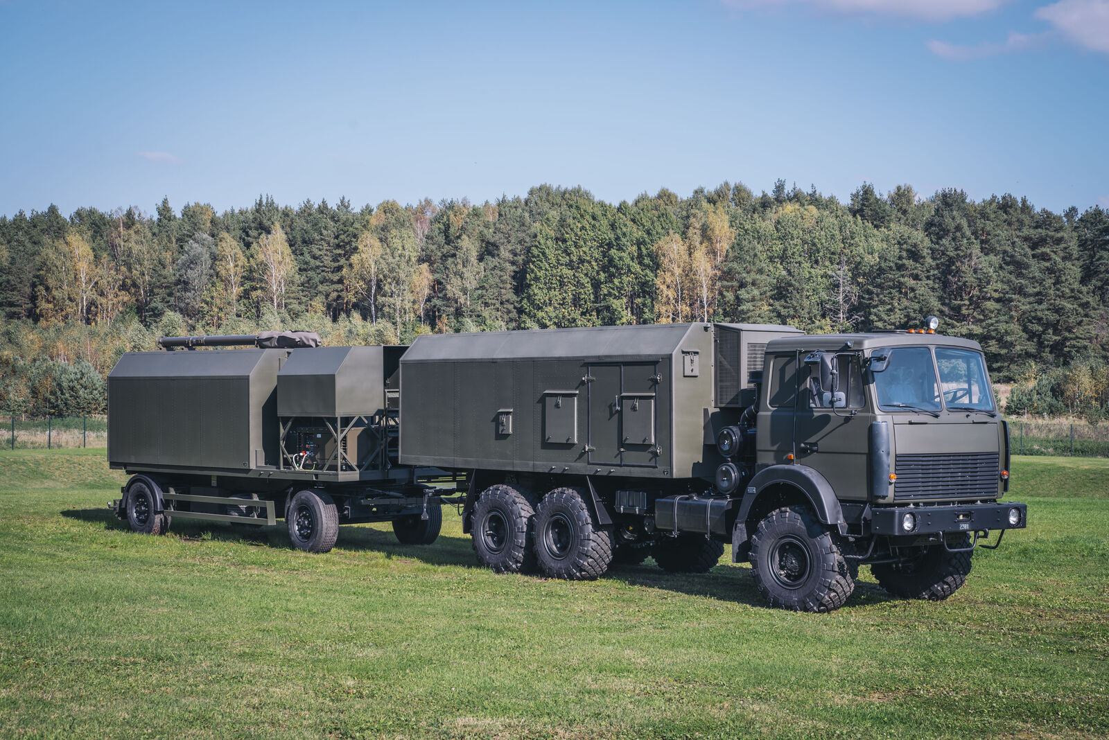
Equipment cabin
Equipment cabin
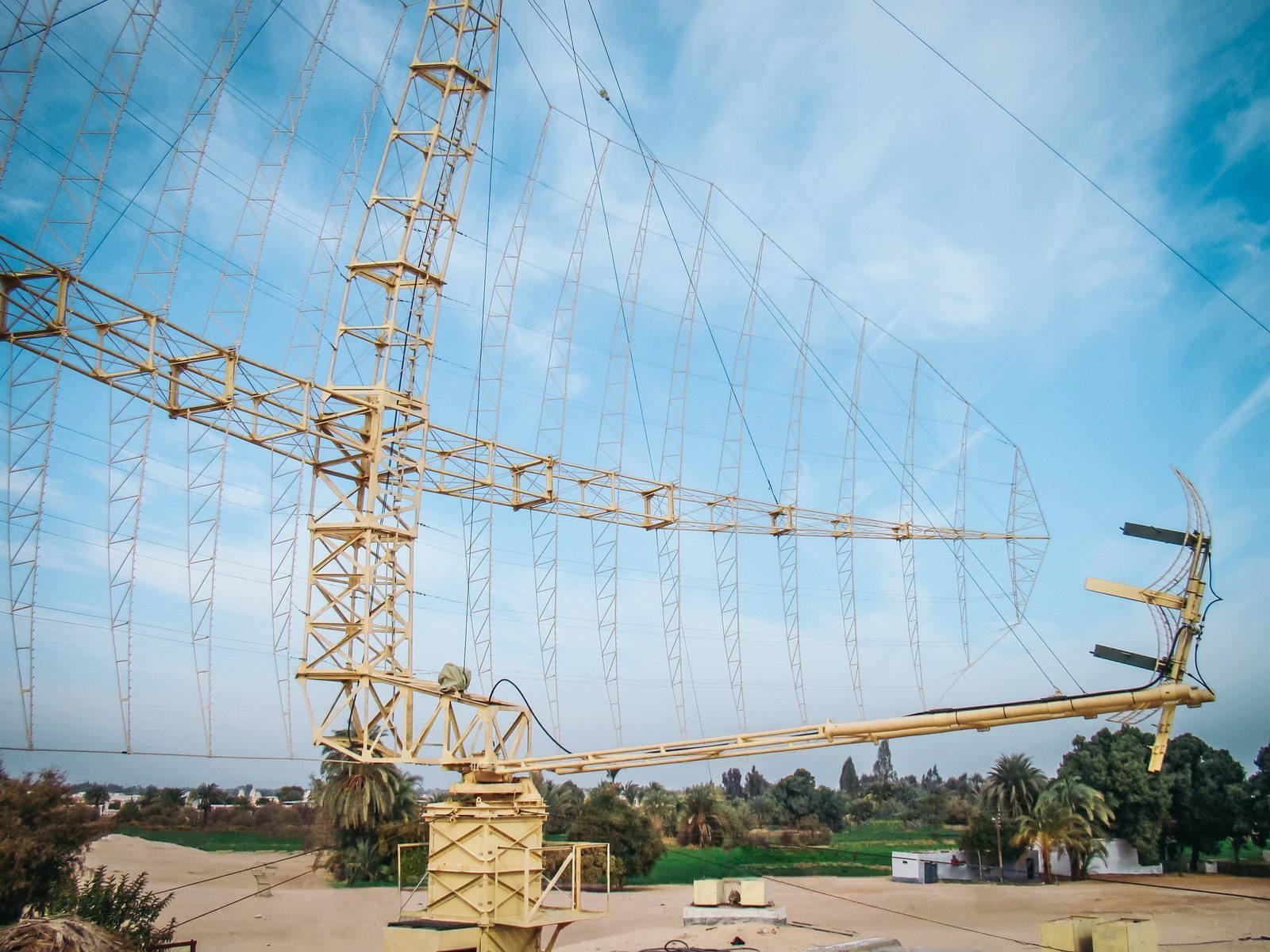
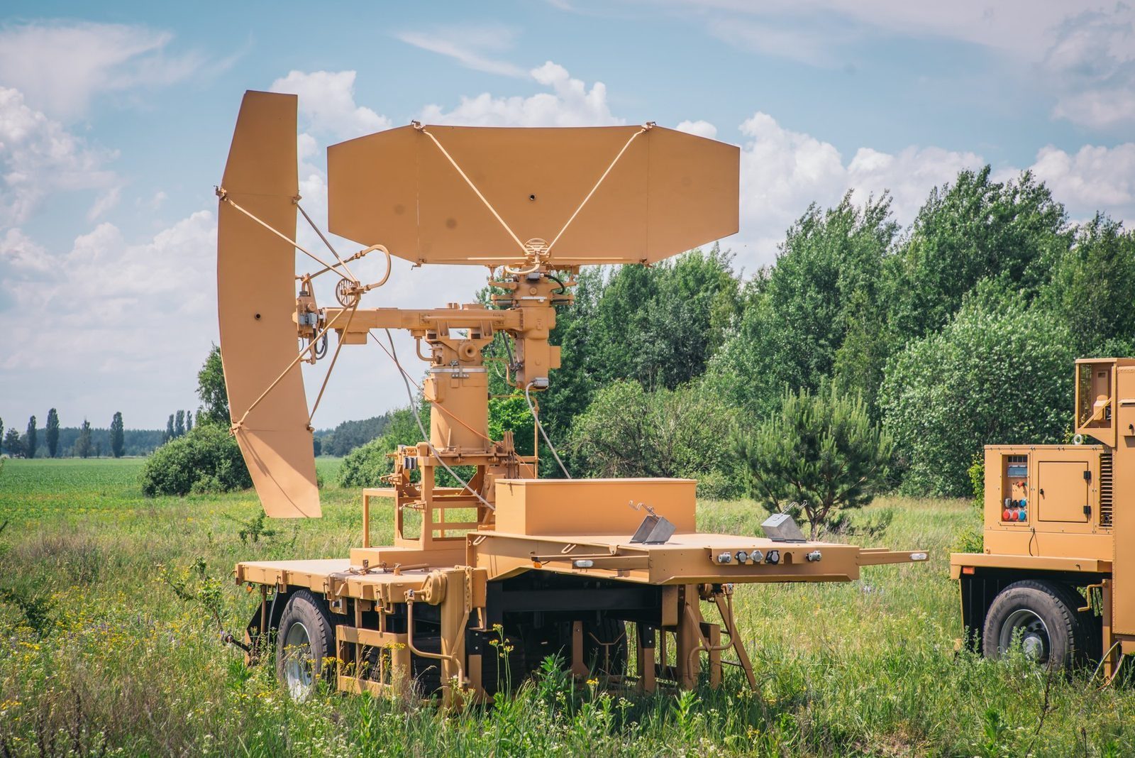
3D radar complex

An alternative to modern 3D radars.

High location accuracy, resistance to jamming, mobility, survivability and fully automatic operation, at a competitive price. Produced by GIS in Bulgaria.

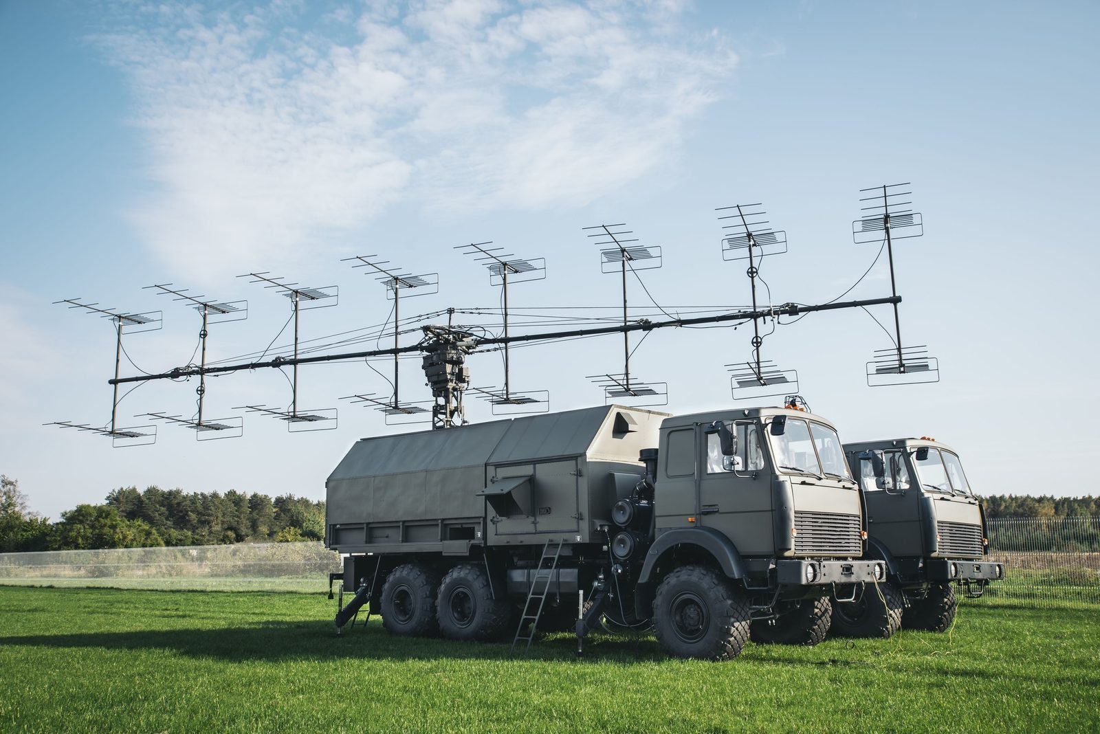
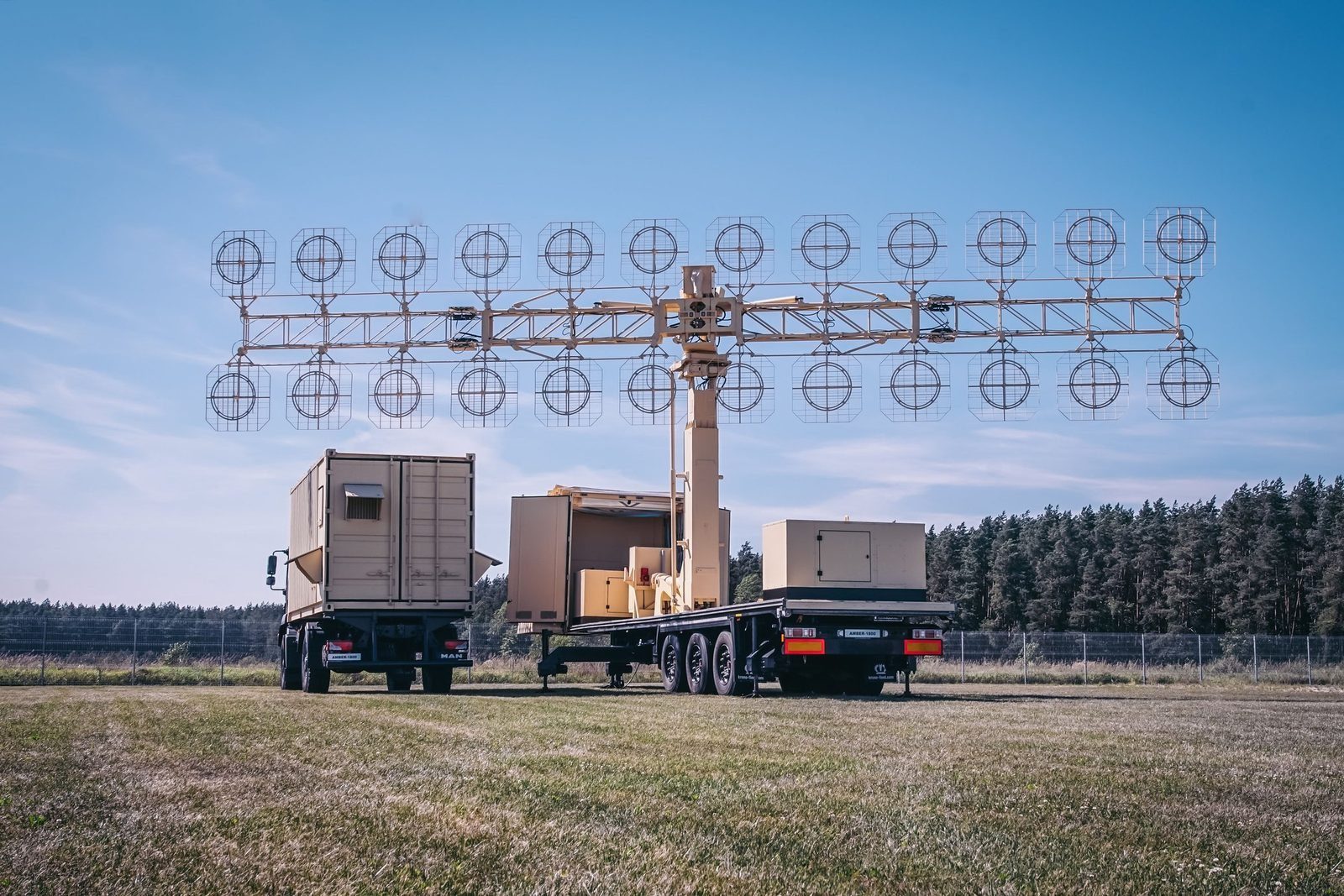
012D surveillance radarA solid state P-18ML, MARS-L, AMBER-1800 or P-14ML builds the air picture in azimuth and range.
02PRV-16ML height finderTakes the target designation, measures elevation and slant range and calculates the height of the target.
03MODULE command postConnects the sensors automatically, fuses their data and distributes the recognised air picture in ASTERIX.
In detail

MODULE functions and characteristics.

Radars produce data; a command post turns that data into decisions. The Automated Mobile Command Post "Module" is the basic element of air defence and air force command, control, communications and computer (C4I) networks.

Its open architecture lets it serve as a control and reporting post or a control and reporting centre. All equipment sits in a shelter on a truck or trailer, or in a fixed building. An optional ADS-B receiver adds high accuracy data from equipped aircraft at two updates per second.
AMCP "Module"
AMCP "Module"
AMCP "Module"
Basic configuration
  • 4 operator workstations with role assignment and easy reconfiguration
  • Data processing and distribution on 2 redundant servers
  • Recording server and command and control communications
  • 2 duplicated LANs
  • Power supply with two 9 kW generators and UPS
  • Temperature control and ventilation
Main functions
  • Processing and display of the air situation from digital radars and analogue radars fitted with A1000 extractors
  • Data from height finders and IFF; IFF interrogation
  • Intelligent automatic or manual targeting of subordinate height finders
  • Distribution of the recognised air picture to subordinate and supporting units
  • Radar coverage and engagement area calculation on digital maps
  • Simulation of air situations for training; recording of crew actions, voice and data
  • GPS location and master clock; automatic reports and alerts
  • Optional control of air defence missile units and ground controlled intercept
Key figures
MTBF500 hours
Interfaced sensors16
Message protocolASTERIX
Display range800 km
Display altitude60 km
Display speed3,600 km/h
Figures are indicative and depend on configuration, site and target. The values that apply to a supply are those in the signed contract. Radars are controlled items and are supplied only to end users approved by the competent authorities.

Radar family

Other GIS radars and the command post.

Each radar can be delivered on its own or combined into a national network, with site planning, installation, crew training and maintenance by GIS.

P-18ML
P-18MLVHF surveillance radar, 360 kmView →
AMBER-1800
AMBER-1800Mobile VHF radar, ready in 12 minutesView →
MARS-L
MARS-LPrimary and secondary radar on one vehicleView →
P-14ML
P-14ML500 km early warning from existing sitesView →
PRV-16ML
PRV-16MLHeight finder: the third dimensionView →
RSP-10ML
RSP-10MLGround controlled approach in any weatherView →

Plan a radar network with GIS. Site planning, supply, training and support.

Request a consultation