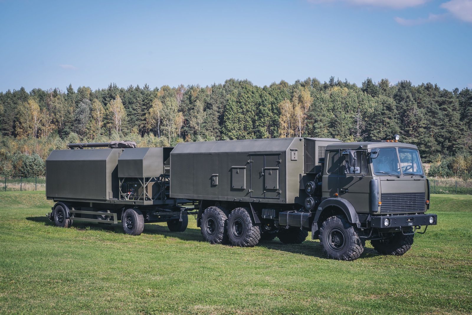
Layer 07 · Detect · AMBER-1800

AMBER-1800: mobile VHF radar ready in 12 minutes

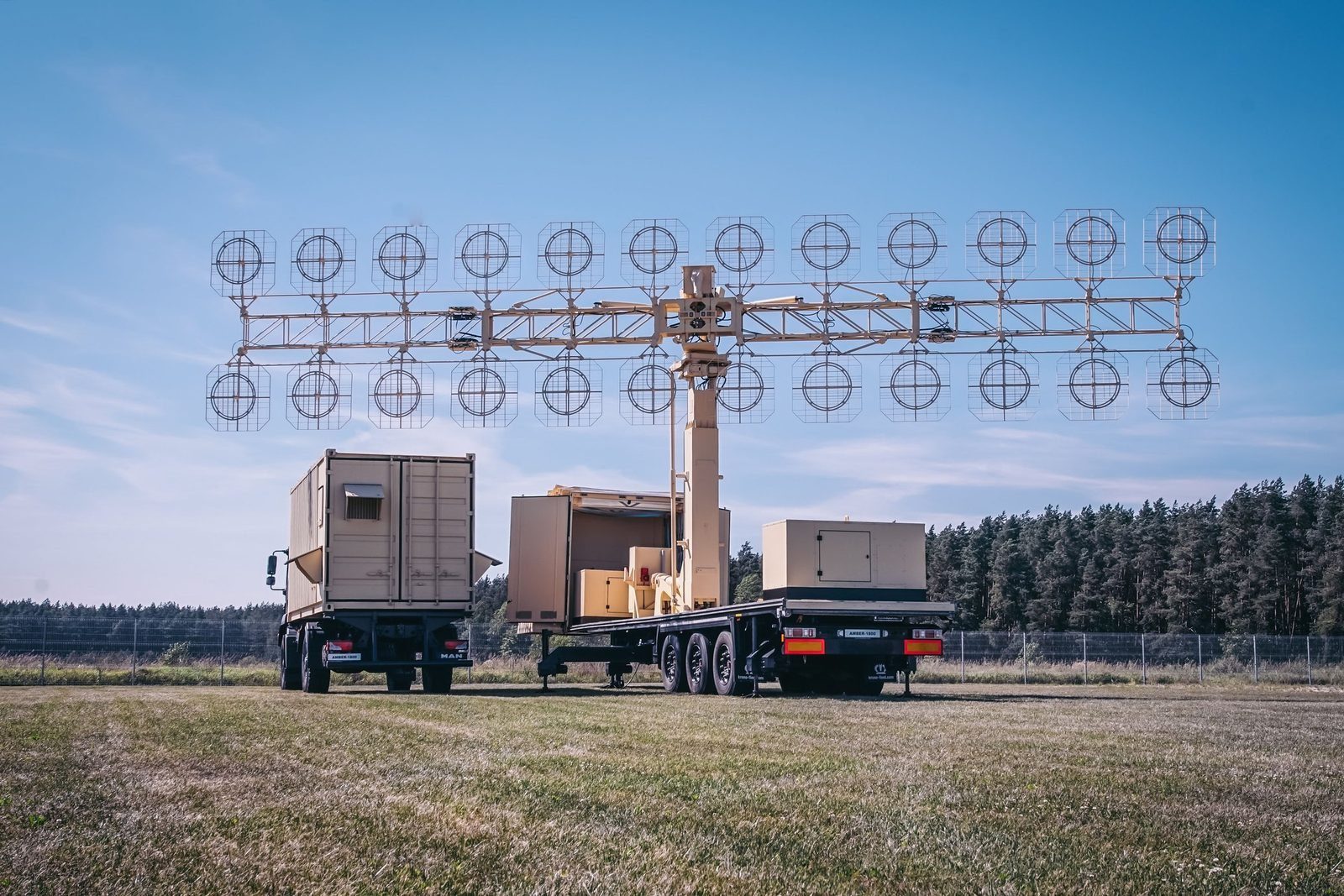
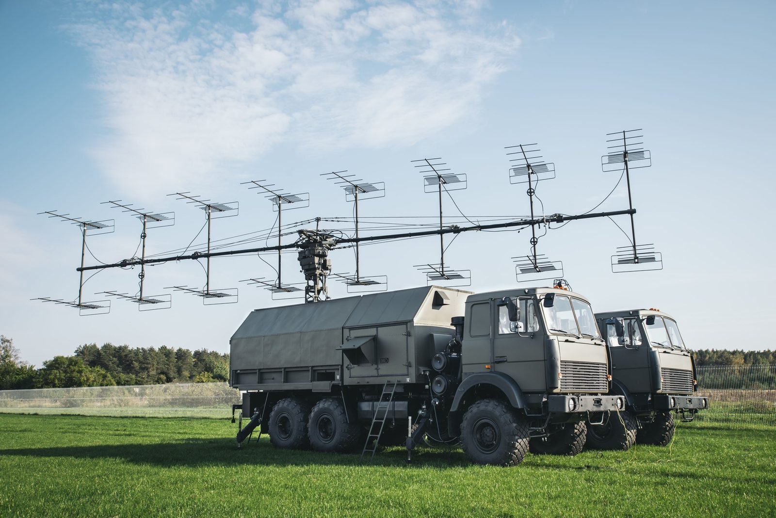
A mobile VHF surveillance radar on two vehicles. Its telescopic multi section antenna deploys and levels automatically, and the solid state transmitter and receiver work gaplessly across 140 to 180 MHz, the band where low observable targets are harder to hide.

Produced by GIS in Bulgaria
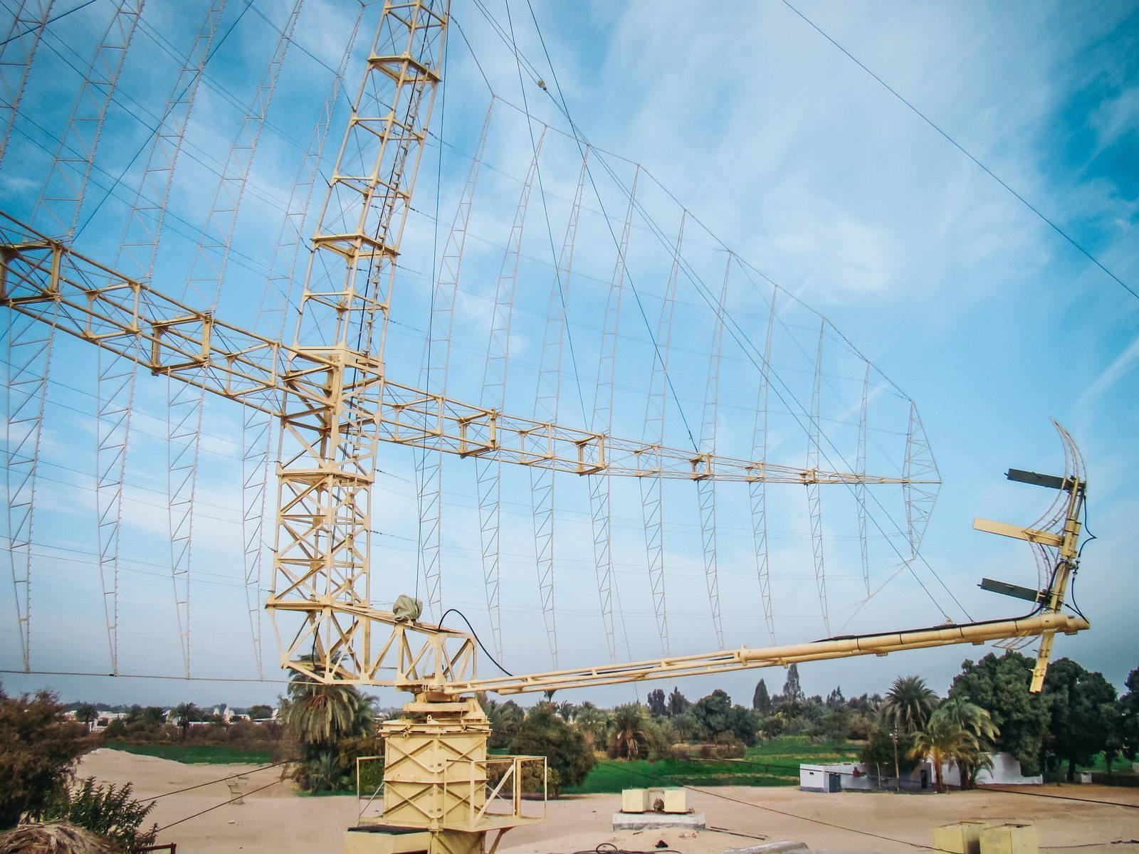
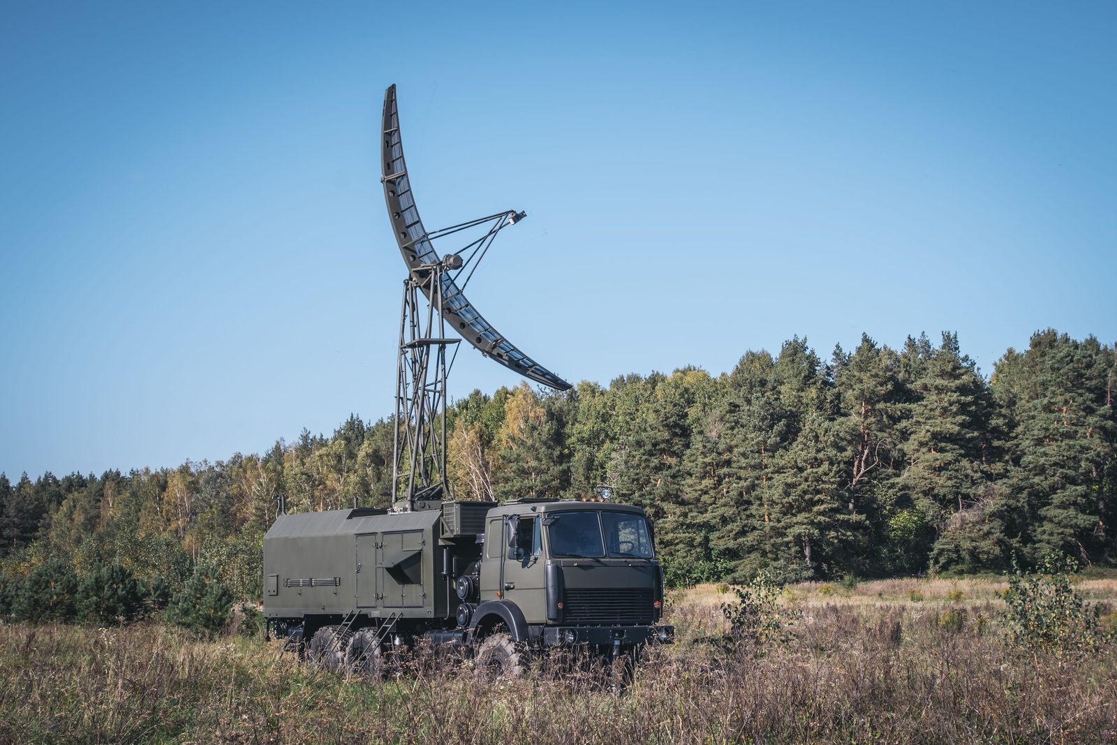
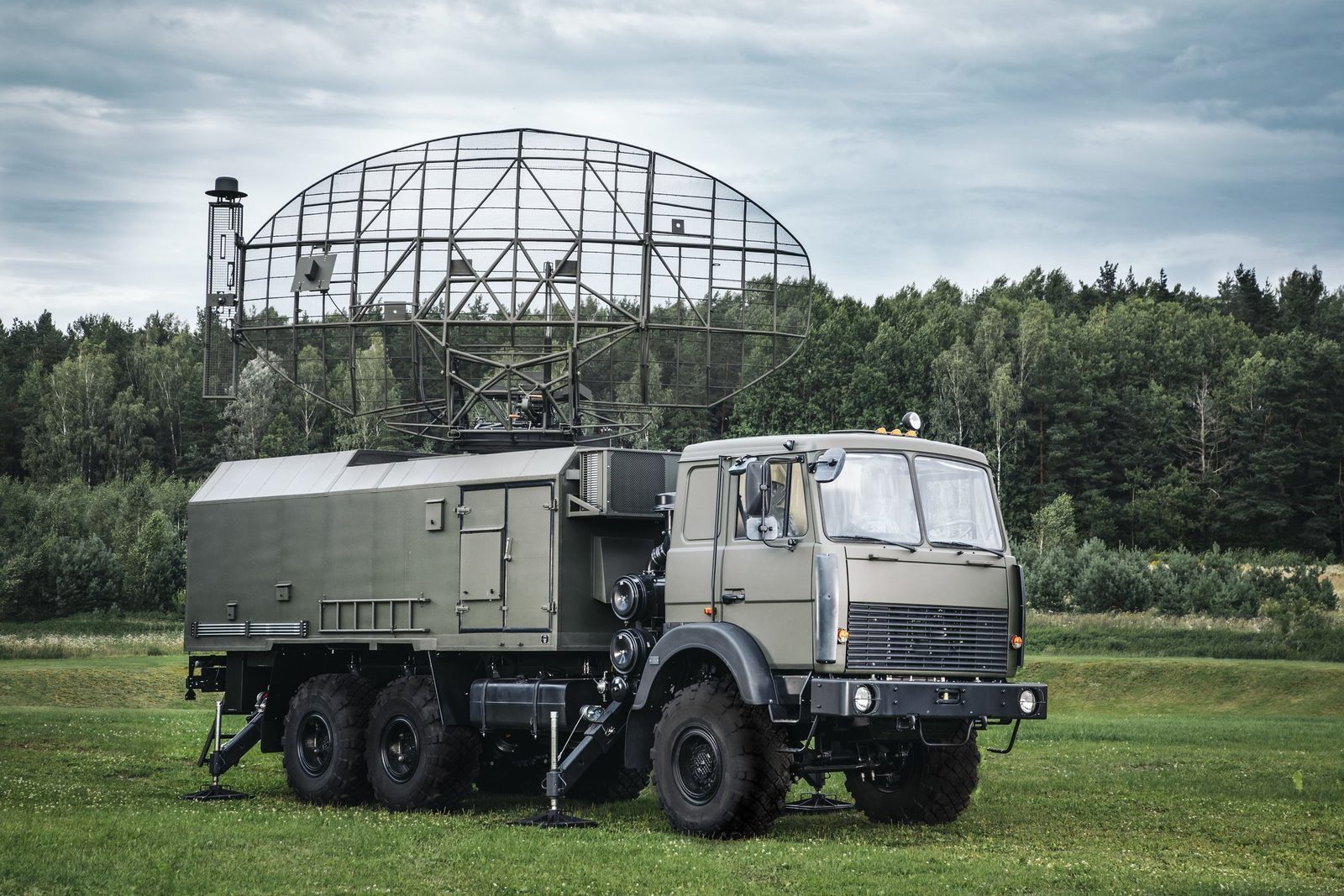
AMBER-1800 mobile VHF surveillance radar with its antenna deployed
VHFGapless, 140 to 180 MHz
12 minReady on site
6°Beam width
3 or 6 rpmAntenna rotation
35 m/sWind; icing up to 10 mm
Why AMBER-1800

What it brings to the air picture.

3D radar complex

An alternative to modern 3D radars.

High location accuracy, resistance to jamming, mobility, survivability and fully automatic operation, at a competitive price. Produced by GIS in Bulgaria.

012D surveillance radarA solid state P-18ML, MARS-L, AMBER-1800 or P-14ML builds the air picture in azimuth and range.
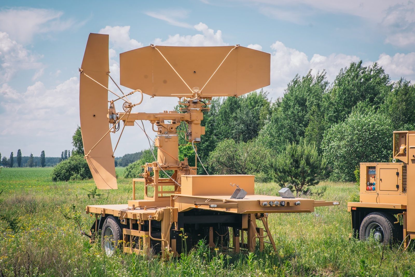
02PRV-16ML height finderTakes the target designation, measures elevation and slant range and calculates the height of the target.
03MODULE command postConnects the sensors automatically, fuses their data and distributes the recognised air picture in ASTERIX.
In detail

AMBER-1800 functions and characteristics.

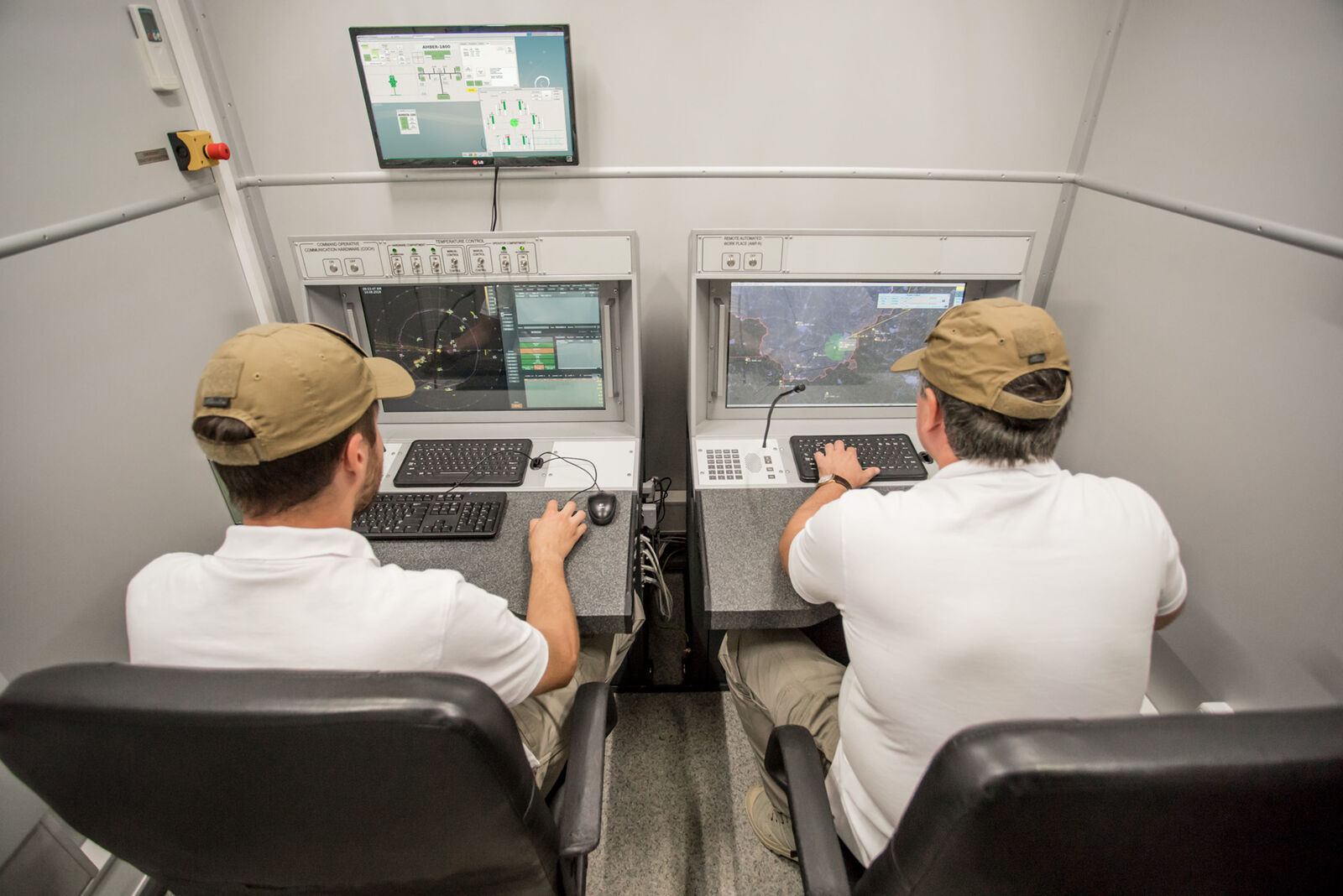
AMBER-1800 is a ground based mobile radar that deploys itself automatically on a prepared site. It detects air targets, measures their position, builds tracks and sends the air picture to whoever needs it. Its transmitter and receiver are fully solid state.

Working in the VHF band gives AMBER-1800 a practical advantage: at these wavelengths small and low observable targets, such as cruise missiles and stealth shaped aircraft, reflect more energy back to the radar, so they are detected further out than with higher frequency radars.
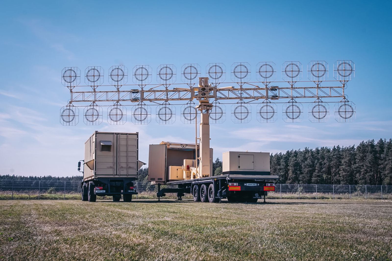
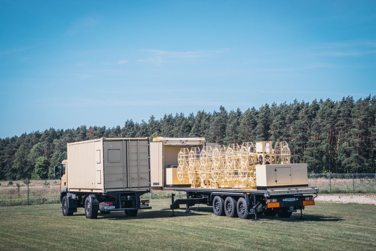
AMBER-1800
AMBER-1800
AMBER-1800
Functions
  • Automatic detection of air targets and their coordinates (azimuth, range)
  • Automatic track generation and tracking in set areas of airspace
  • Display of video, plots and tracks; automatic distribution of the air situation over data links
  • Automatic elevation measurement commands to height finders, correlated with tracks
  • Recording of the air situation and of operator actions
  • Control of operating modes, technical monitoring and diagnostics
Composition
  • Vehicle 1: hardware cabin with the main electronic equipment
  • Vehicle 2: levelling platform with the antenna mast, antenna feeder system and two power plants
Main characteristics
  • Significantly greater detection range against low sized and low contrast targets
  • Stacked array of dipole slot antennas, linear horizontal polarisation
  • Fully automatic deployment and stowing in less than 10 minutes
  • Fully solid state, fail soft operation
  • Withstands wind of 35 m/s and up to 10 mm of icing
Key figures
Frequency band140 to 180 MHz, gapless
Beam width6 degrees
Side lobe level20 dB
Antenna rotation3 or 6 rpm
Wind and ice35 m/s wind, up to 10 mm icing
Ready on site12 minutes
Figures are indicative and depend on configuration, site and target. The values that apply to a supply are those in the signed contract. Radars are controlled items and are supplied only to end users approved by the competent authorities.

Radar family

Other GIS radars and the command post.

Each radar can be delivered on its own or combined into a national network, with site planning, installation, crew training and maintenance by GIS.

P-18ML
P-18MLVHF surveillance radar, 360 kmView →
MARS-L
MARS-LPrimary and secondary radar on one vehicleView →
P-14ML
P-14ML500 km early warning from existing sitesView →
PRV-16ML
PRV-16MLHeight finder: the third dimensionView →
RSP-10ML
RSP-10MLGround controlled approach in any weatherView →
MODULE
MODULEMobile command post for up to 16 sensorsView →

Plan a radar network with GIS. Site planning, supply, training and support.

Request a consultation