GIS United, Inc.42.87° N 25.32° E · Gabrovo

Defence, built in layers.

GIS United, Inc. is a US defence technology company. With our EU subsidiary GIS Investment Ltd we design and build interceptor drones, electric ISR aircraft, surveillance radars and command posts in Bulgaria, develop the HULK autonomous cargo submarine to be built in the USA, write our own radar coverage planning software, secure airports, seaports, customs and airspace under long term concessions, and keep air and land fleets in service. We are active in 42+ countries.

Request a consultationSee every layer ↓
42+Countries in which GIS is active.
6Operating regions: Europe, Africa, Asia, the Middle East, the Americas and Oceania.
2Signed long term concessions, in Latin America from 2028 and in Africa from 2029, each for a term of 10 to 25 years.
1Mandate: the security of states and of their critical infrastructure.

From the waterline to beyond the horizon.

Our product line is wide, so we show it the way an operator thinks: by layer. Each card tells you whether GIS makes it, supplies and integrates it, or distributes it.

ISR drone
Layer 04 · ObserveISR drone
Supplied by GIS
Electric ISR drone
Layer 04 · ObserveElectric ISR drone
GIS design · made in Bulgaria
Interceptor drones
Layer 03 · InterceptInterceptor drones
GIS design · made in Bulgaria
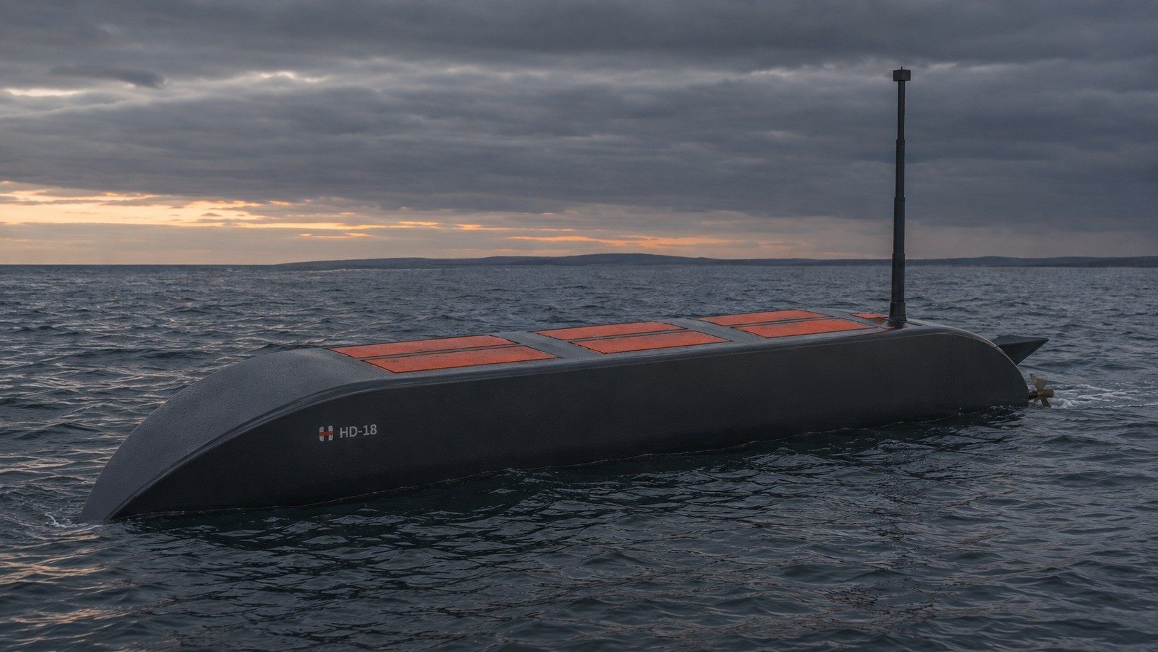
HULK autonomous cargo submarine
Unmanned systems · SeaHULK autonomous cargo submarine
GIS design · built in the USA
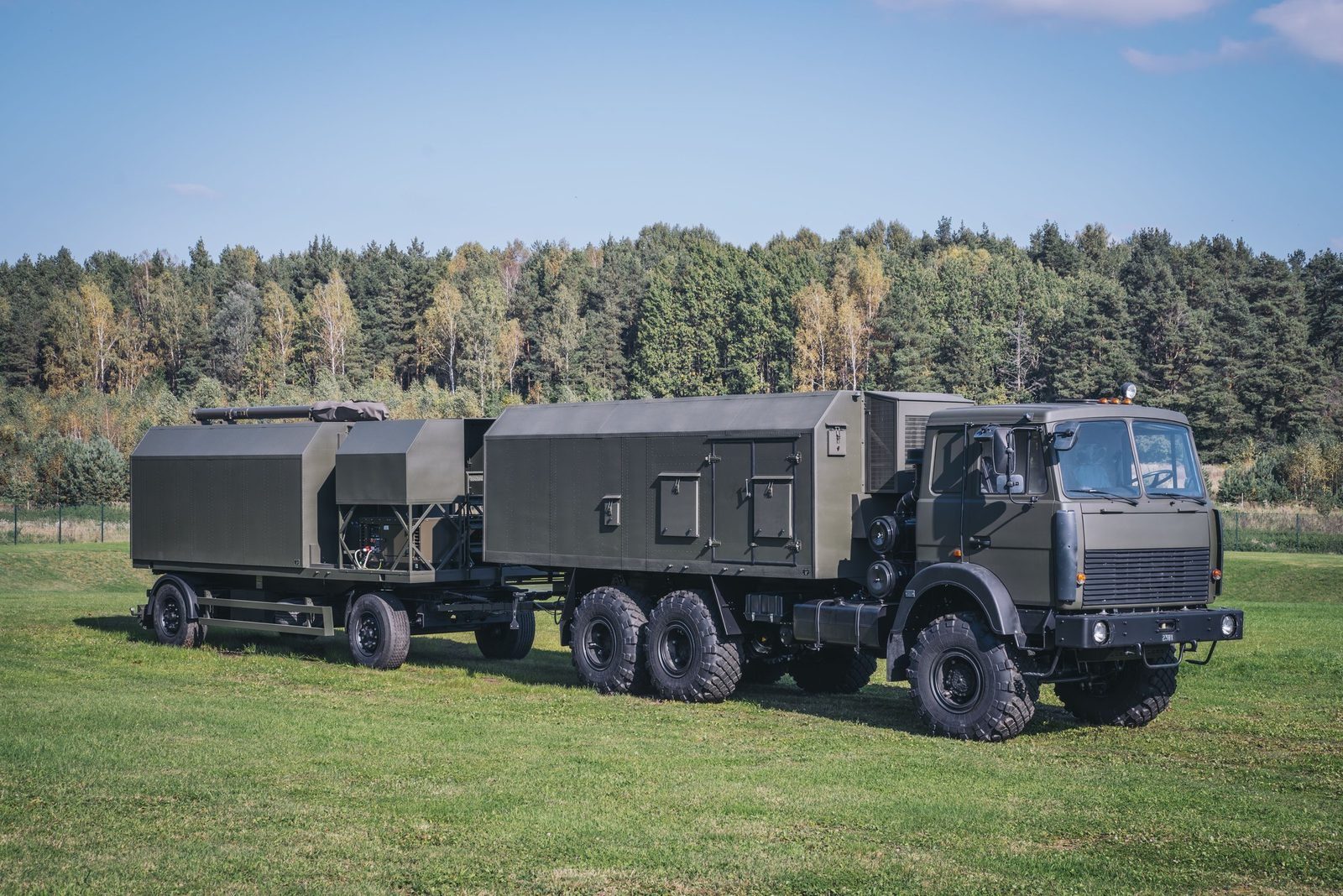
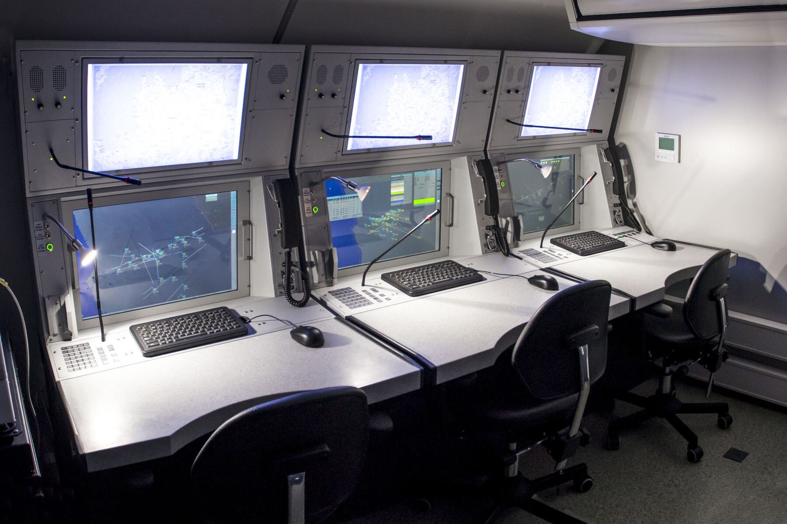
MODULE command post
Layer 07 · DecideMODULE command post
Produced by GIS in Bulgaria
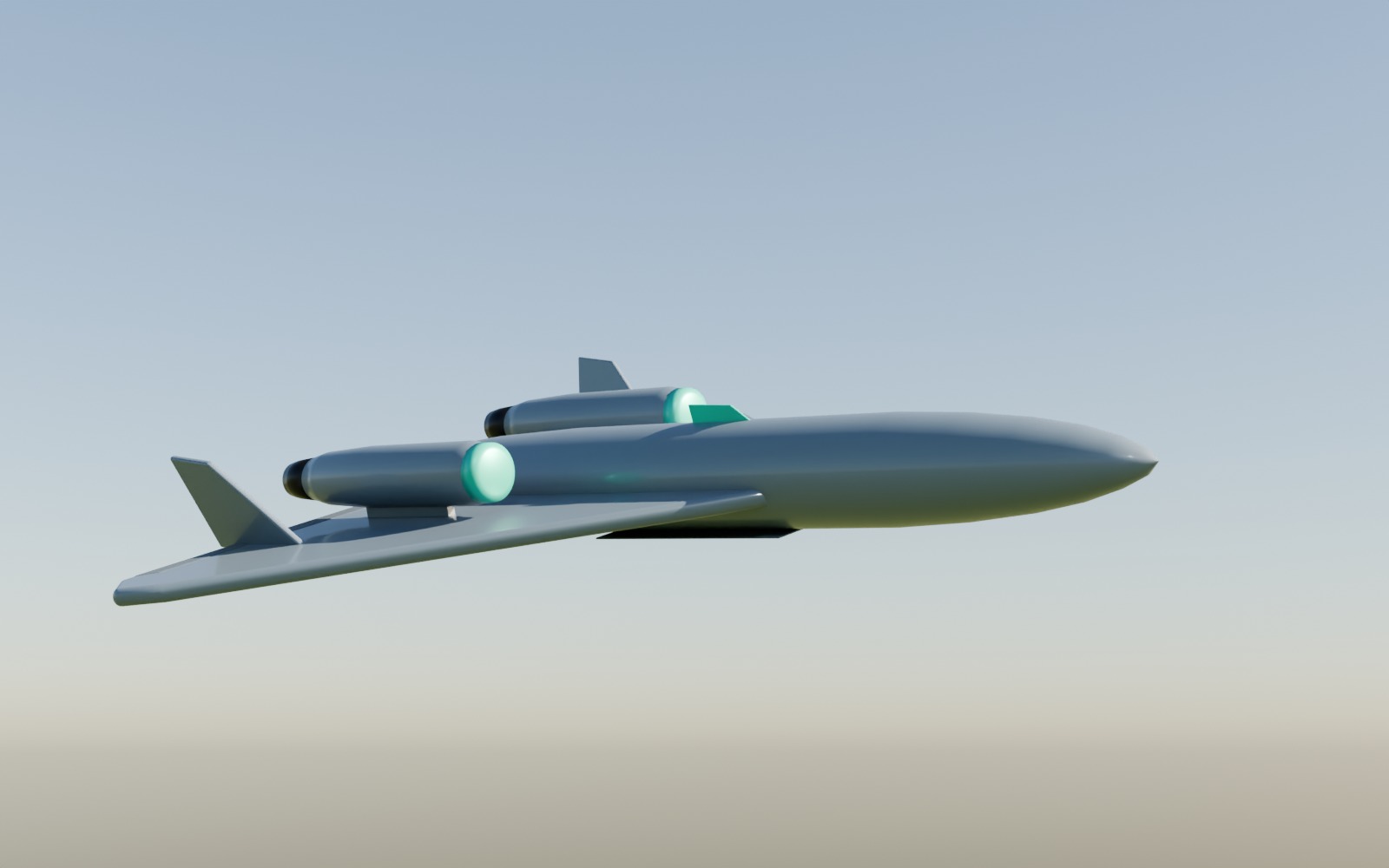
Long range deep strike
Layer 08 · ReachLong range deep strike
GIS design · made in Bulgaria
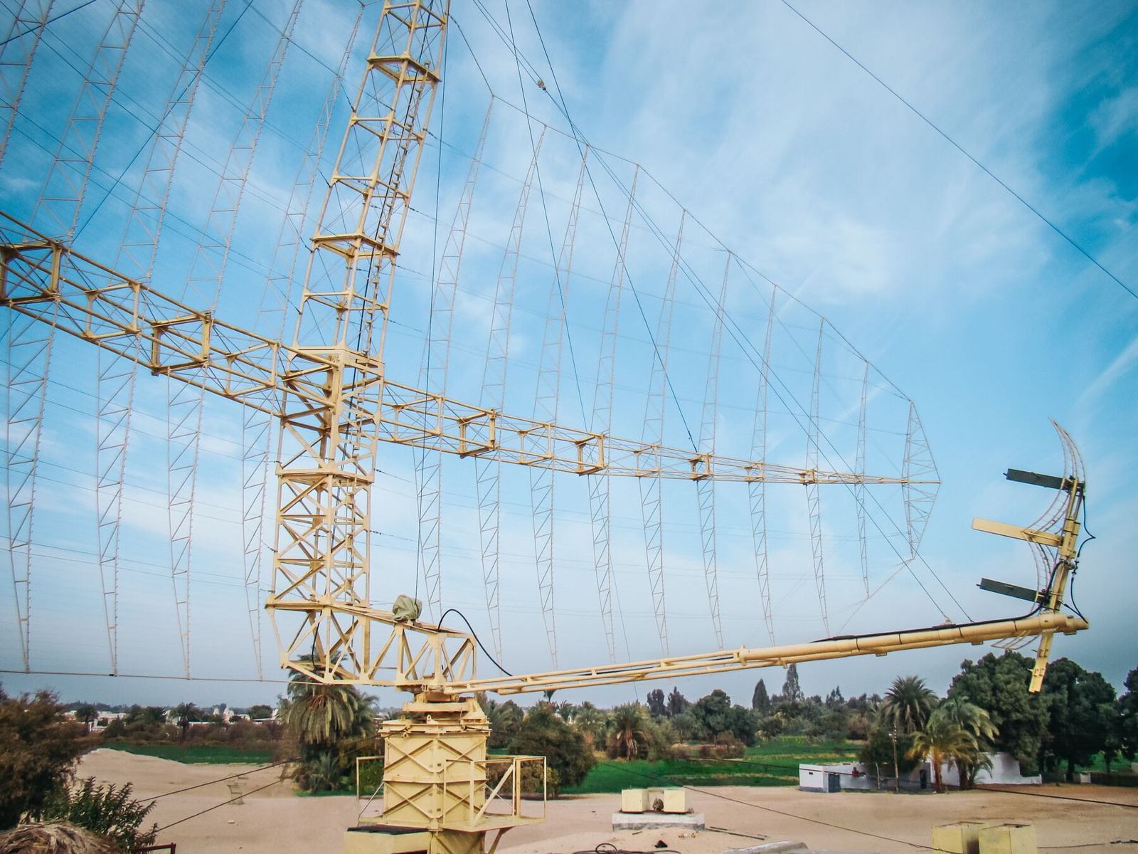
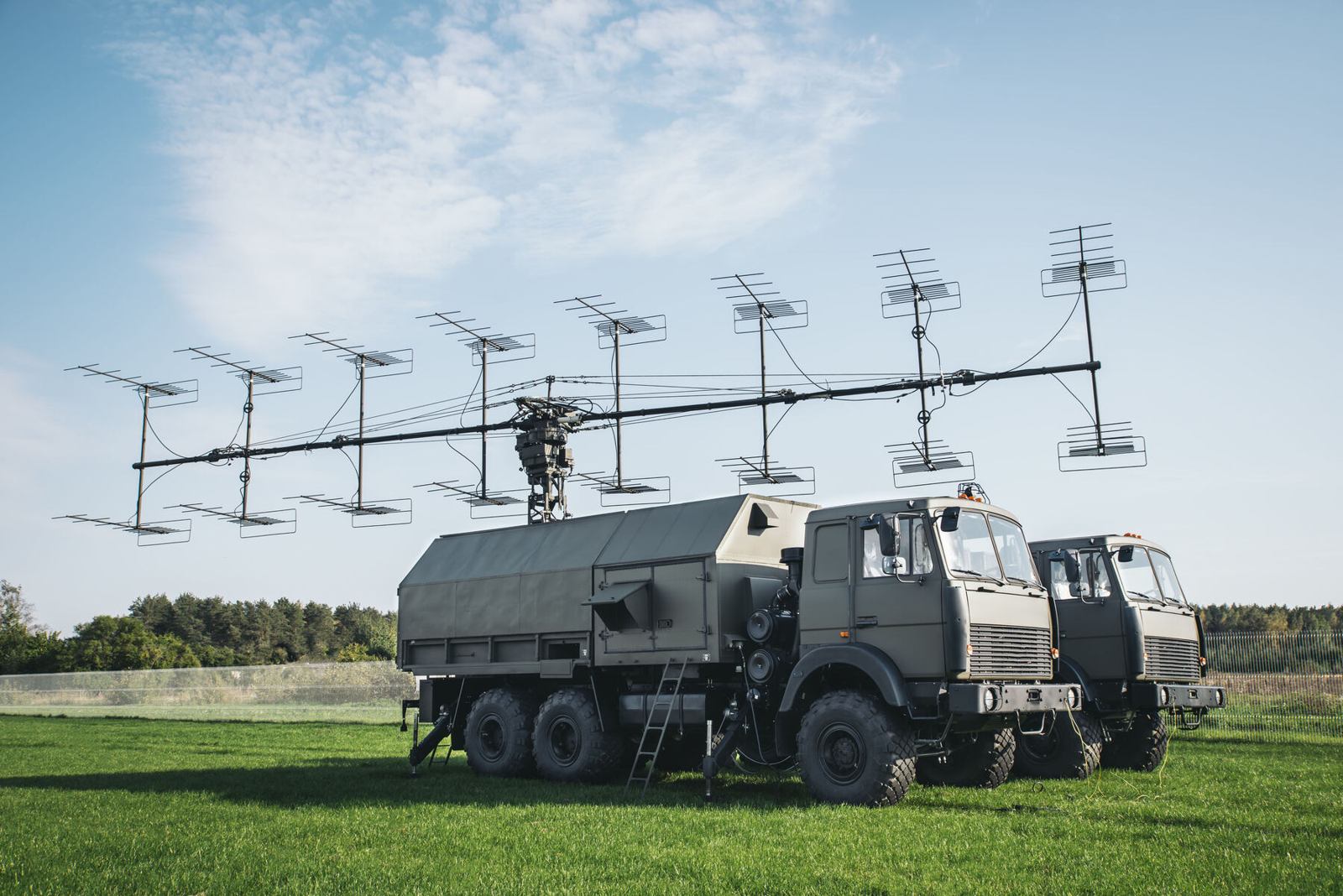
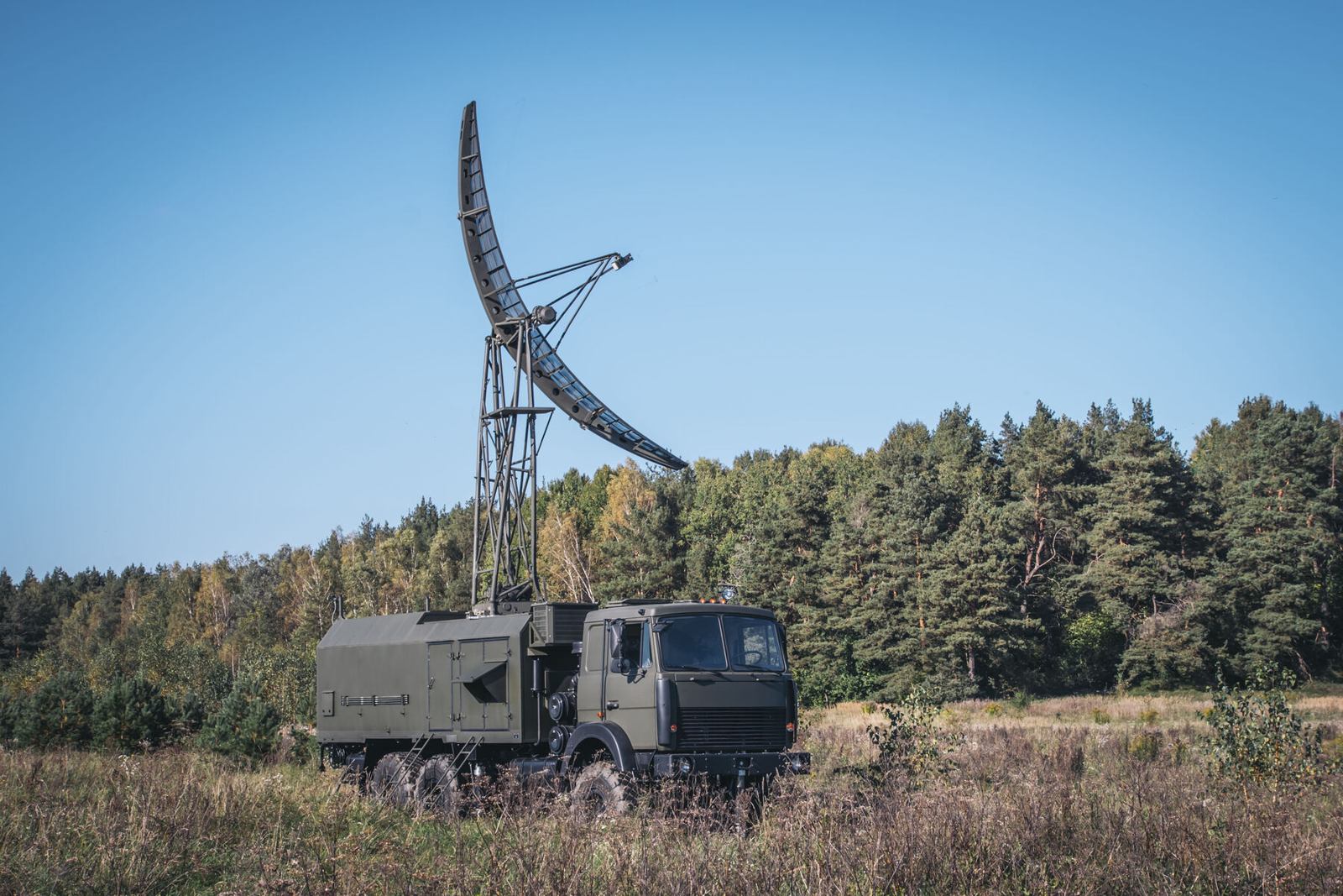
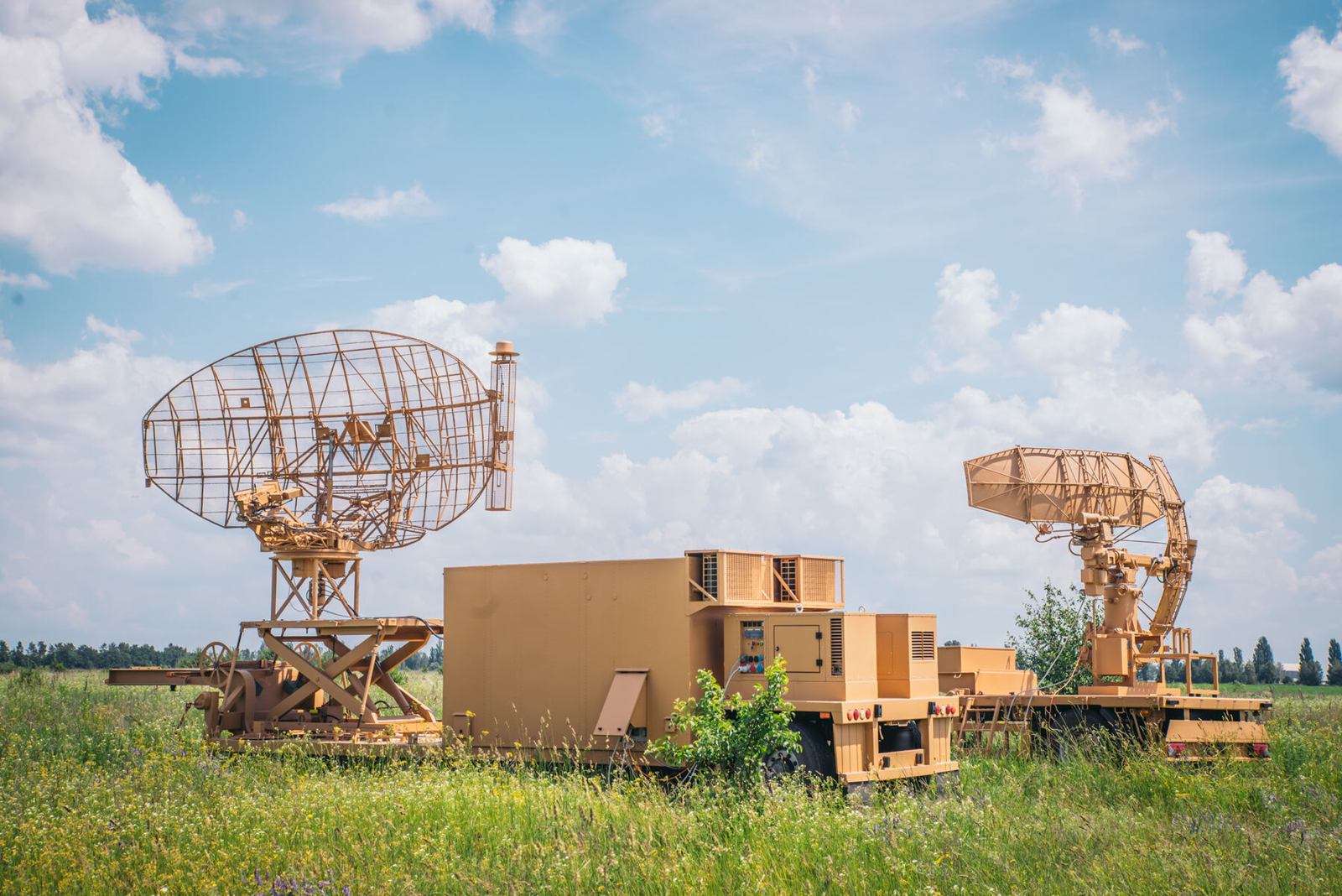
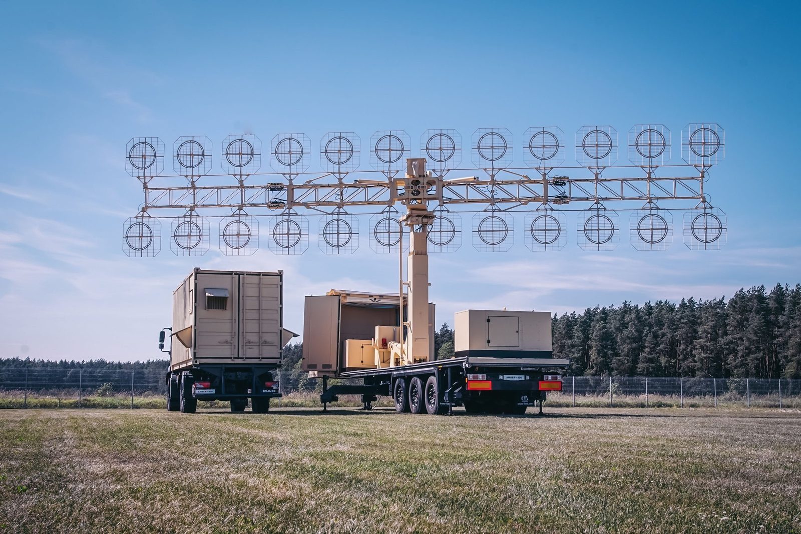
Radar systems
Layer 07 · DetectRadar systems
Produced by GIS in Bulgaria
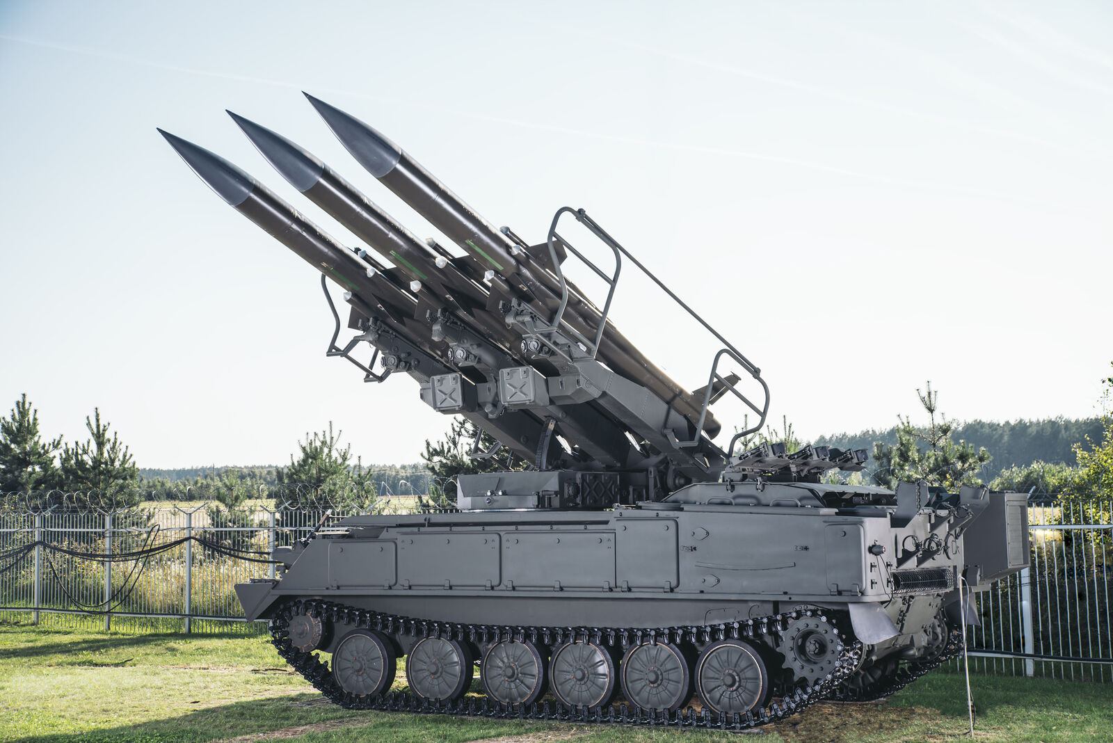
Air defence upgrades
Layer 07 · EngageAir defence upgrades
Designed to GIS specification · manufactured by our EU subcontractor
Air navigation and ATC
Layer 05 · ControlAir navigation and ATC
Produced by GIS in Bulgaria
AirportsPhoto: SunDawn · CC BY-SA 4.0
Layer 02 · GroundAirports
GIS concession model
SeaportsPhoto: José Sáez · CC BY-SA 3.0
Layer 02 · GroundSeaports
GIS concession model
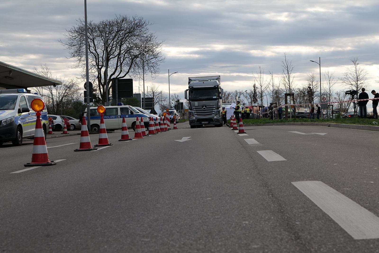
Customs
Layer 02 · GroundCustoms
GIS concession model
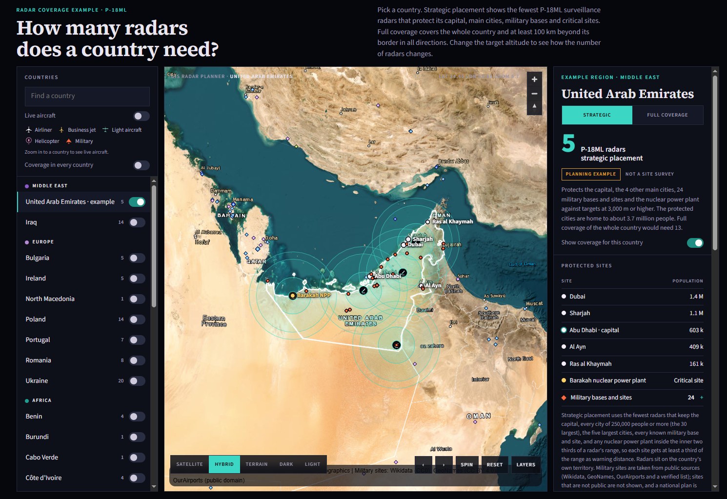
GIS radar coverage planning software
Planning · Radar coverageRadar coverage planning software
GIS software · own IP
Spare parts and services
Layer 00 · SustainSpare parts and services
Supplied by GIS
About GIS

One company, three ways to protect a country.

GIS United, Inc. is a US corporation that leads GIS. Its subsidiary GIS Investment Ltd designs and manufactures our unmanned systems, radars, command posts and air navigation systems in Bulgaria and holds the GIS intellectual property; a US site in Georgia will build HULK and, as orders grow, other product lines made in the USA. We offer air defence upgrades to GIS specification, and we fund, build and run security for airports, seaports, customs and airspace under long term concessions, with two concessions signed.

Our team has many years of successful experience in security across North America, Europe, the Middle East, Africa and Asia.

More about us →
We have solutions for

Five sectors. One standard.

We create state of the art security systems for critical infrastructure that meet the highest international standards.

Airports→Seaports→Customs→Air navigation→Armed forces→

Six services, one contractor.

All services →

Consulting
01ConsultingGIS advises governments, operators of critical infrastructure and armed forces on the protection of their sites, borders and airspace. Each engagement begins with an independent assessment of the threats the customer faces and of the measures already in place.
  • Needs analysis
  • Threat and risk assessment
  • Review of existing systems
  • Technology roadmap
Design
02DesignGIS designs complete security solutions for airports, seaports, border crossings, government facilities and military sites. Every design is prepared for the specific site and the specific risks identified during consulting.
  • Concept and detailed design
  • Specifications and bills of quantities
  • Compliance with international standards
  • Design reviews with the customer
Integration
03IntegrationGIS is a full service systems integrator. We combine command and control, perimeter protection, access control, video surveillance, radar and communications into a single system that operators manage from one place.
  • Command and control
  • Perimeter and access control
  • Cyber security
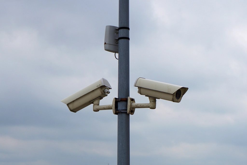
  • Video surveillance and management
Project management and supervision
04Project management and supervisionGIS manages each project from contract signature to final acceptance under one point of responsibility. A dedicated project manager reports to the customer throughout the project.
  • Requirements capture
  • Factory acceptance testing
  • Supplier and subcontractor management
  • Schedule and budget control
Installation
05InstallationGIS technical teams install and commission systems on site or supervise installation by local contractors. Every step follows written procedures, so that the system performs as designed from the first day of operation.
  • Site preparation
  • Installation and commissioning
  • Site acceptance testing
  • Handover documentation
Maintenance, support and training
06Maintenance, support and trainingGIS supports its systems throughout their service life. Customers choose the level of support that suits their operation, from scheduled preventive maintenance to permanent on site technical teams.
  • Preventive maintenance
  • Technical support
  • Documentation services
  • On site support and training
Private public partnership

Build. Maintain. Transfer.

GIS provides all the capital and expertise under a concession of 10 to 25 years. No capital outlay and no sovereign guarantee for the country; operations stay under government control.

How it works →
Operate and upgrade to year 25
Contract3 months18 monthsYear 25

Field reel

Images of GIS systems and partner systems in service. Select any image to open the product page.
Interceptor 501L in flight
01 · Interceptor 501L in flight →Our fastest interceptor, designed and built by GIS in Bulgaria. It closes on hostile drones at up to 110 metres per second and is in production now.
ISR drone, launch from its catapult
02 · ISR drone, launch from its catapult →A 3 metre mechanical catapult puts the aircraft in the air without a runway. It cruises at 110 to 120 km/h and returns by parachute.
P-14ML deployment, partner footage
03 · P-14ML deployment, partner footage →A legacy P-14 early warning radar upgraded to P-14ML, with automatic tracking and data shared with the rest of the air picture.
Technical partners
Security and X-ray
Smiths Detection
L3 Security and Detection Systems
Rapiscan Systems
CEIA Security
Equipment
Skyeton
Motorola
NormRock
CCTV
Bosch Security and Safety Systems
AXIS
Panasonic
FLIR Systems
Software and analytics
ISTA-Group
Avigilon
Milestone Systems
Microsoft
Oracle

Tell us what you need to protect.

Request a consultation